

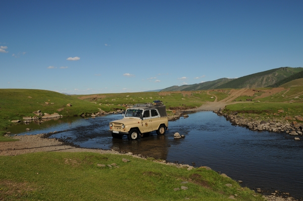
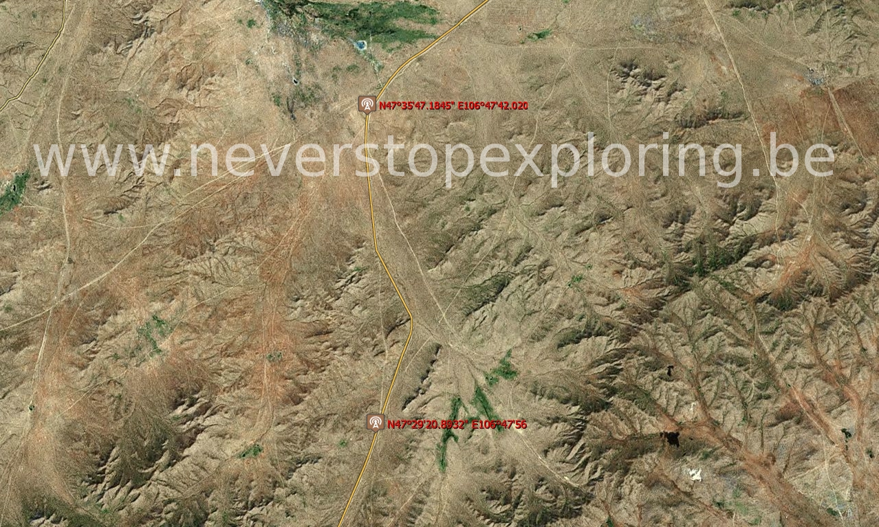
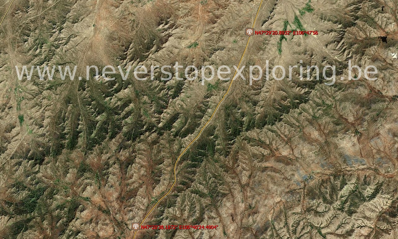
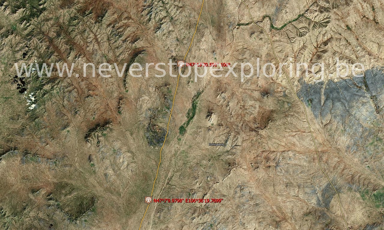
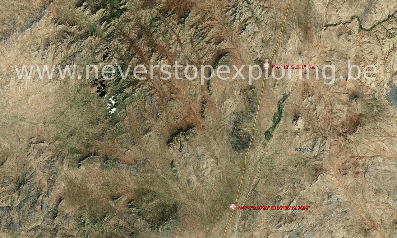
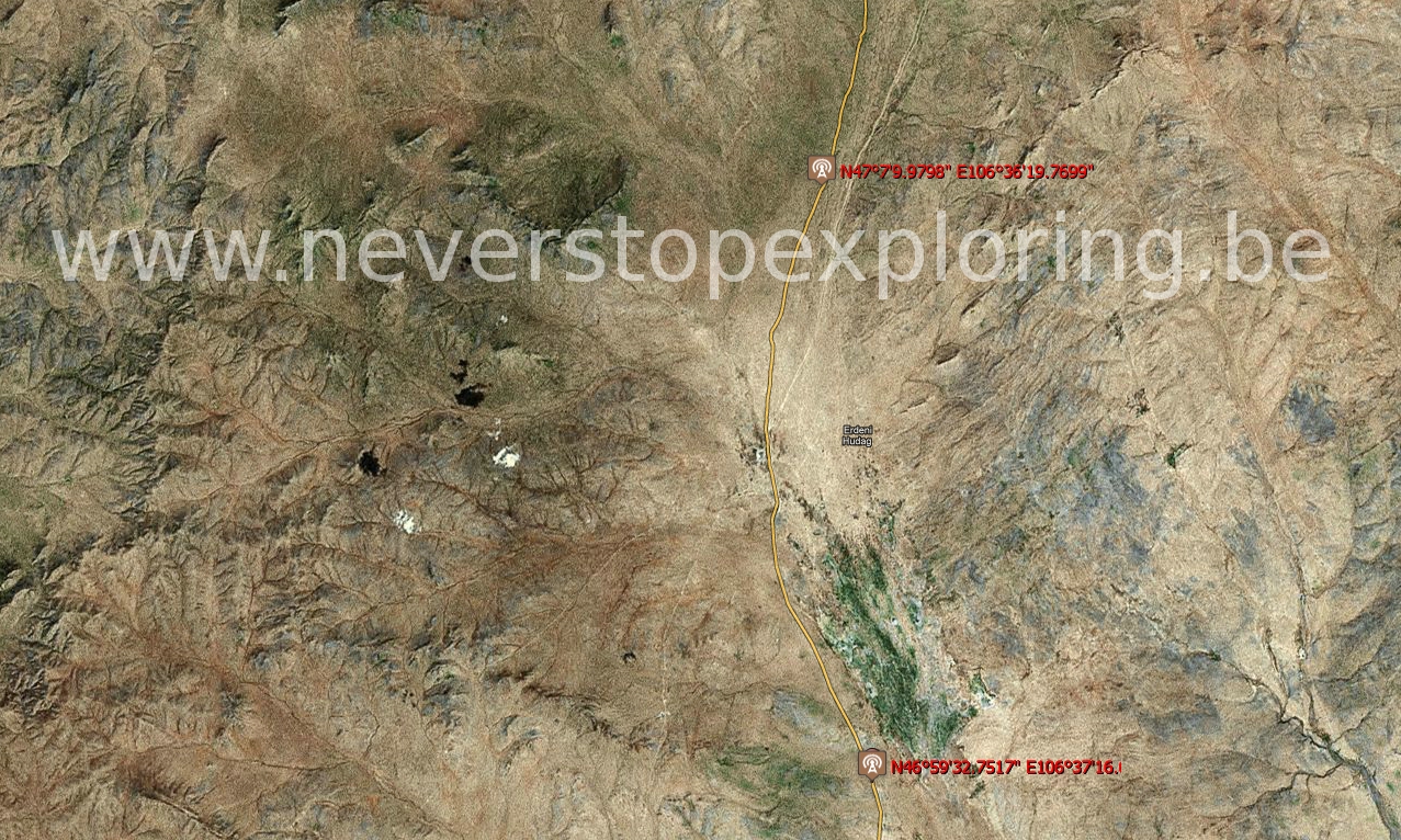
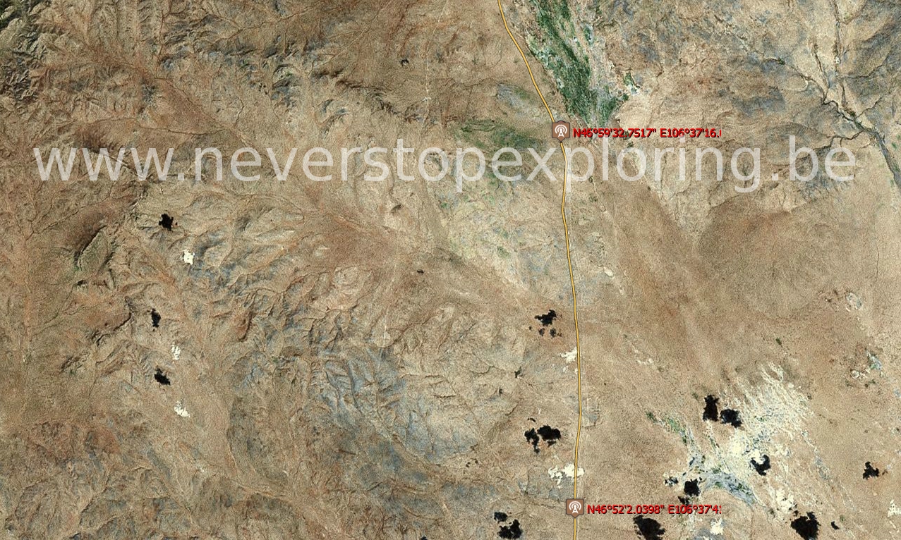
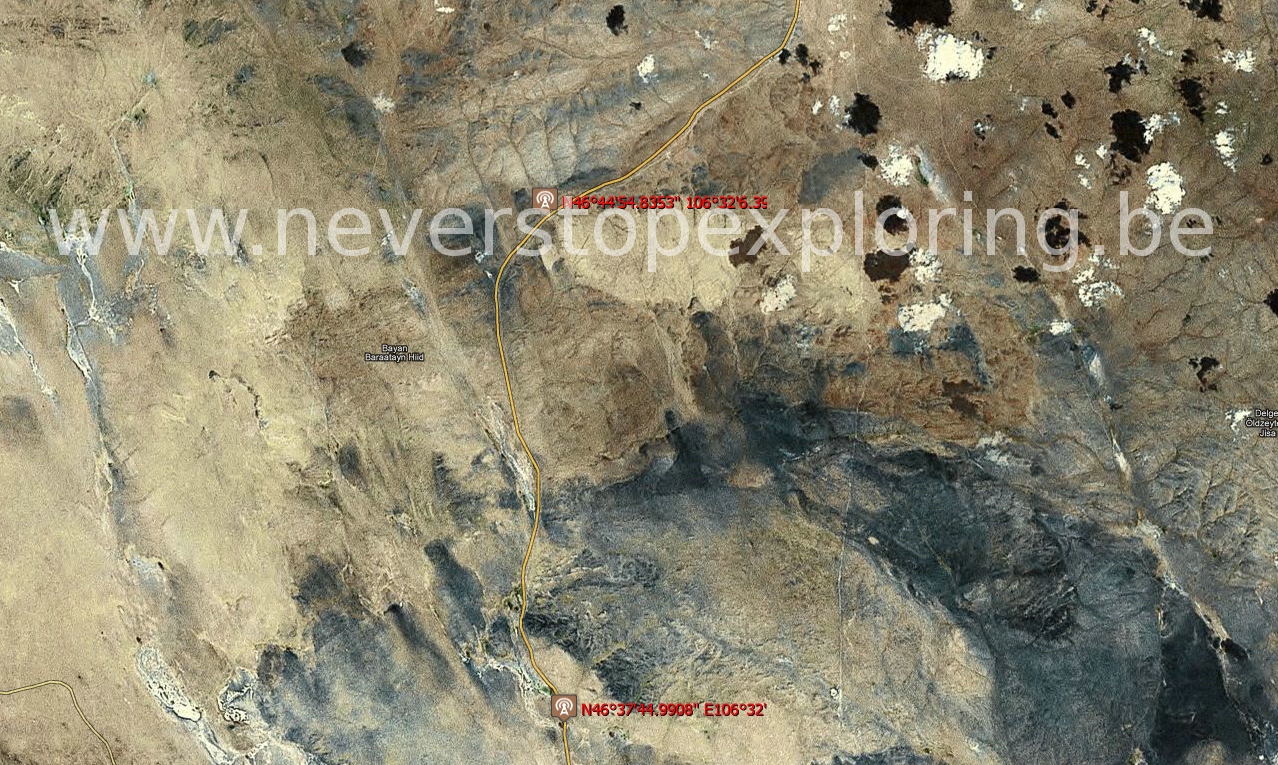
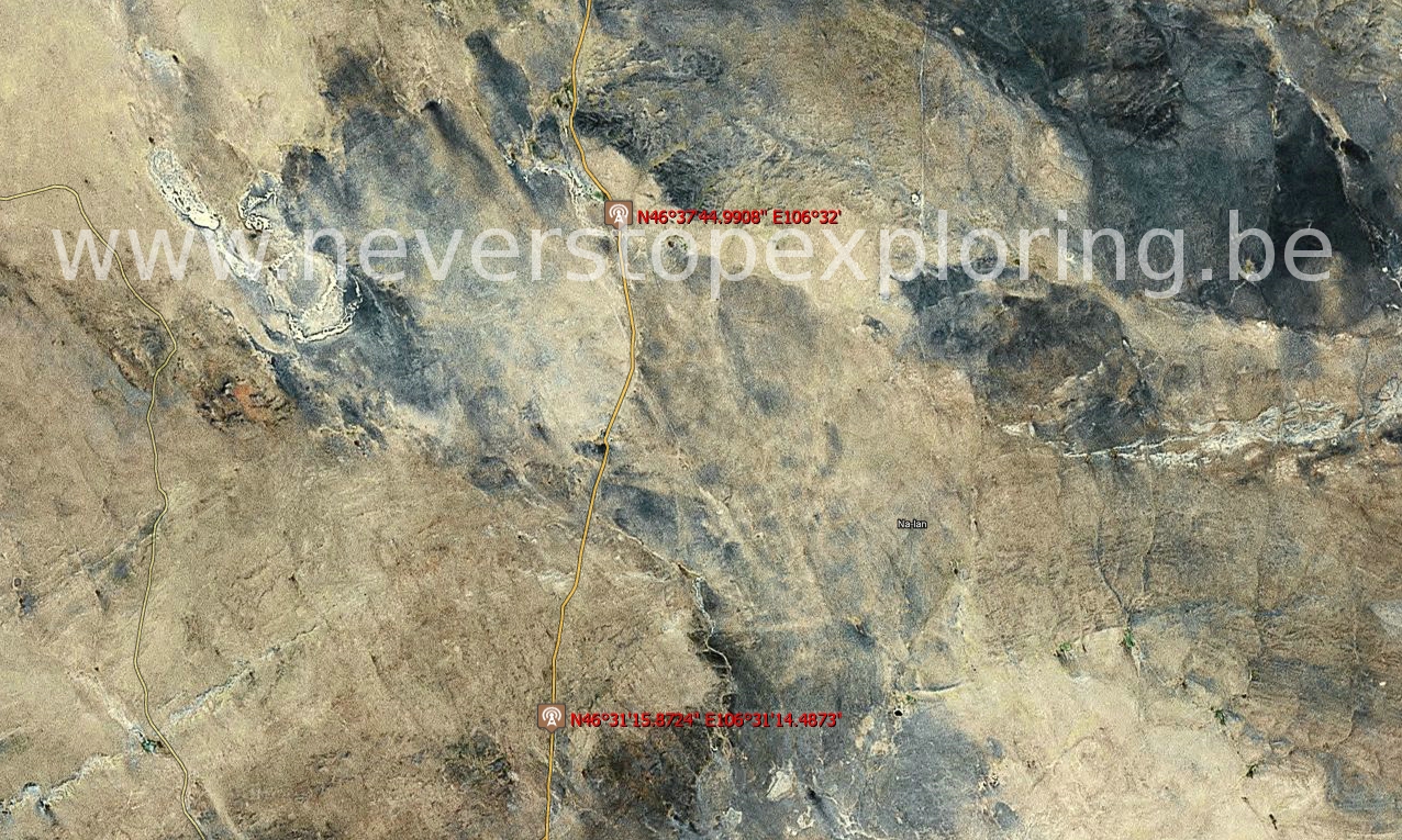
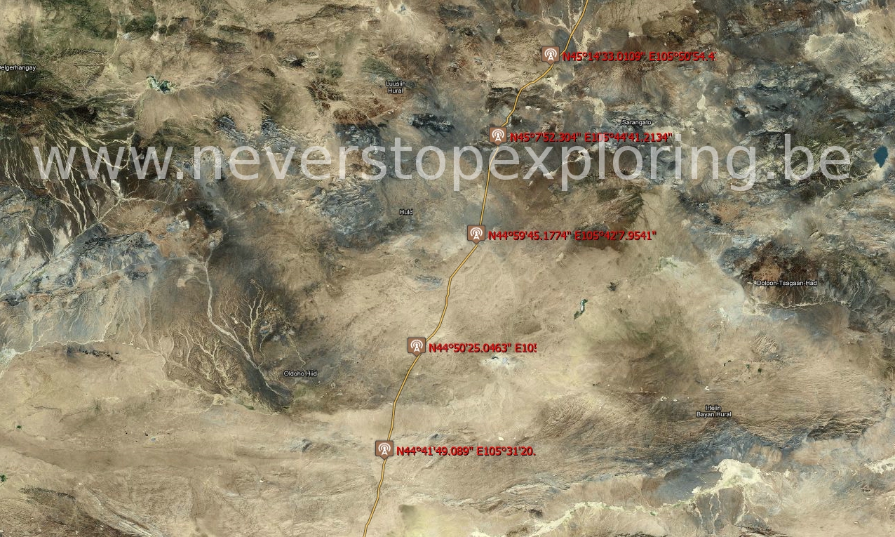
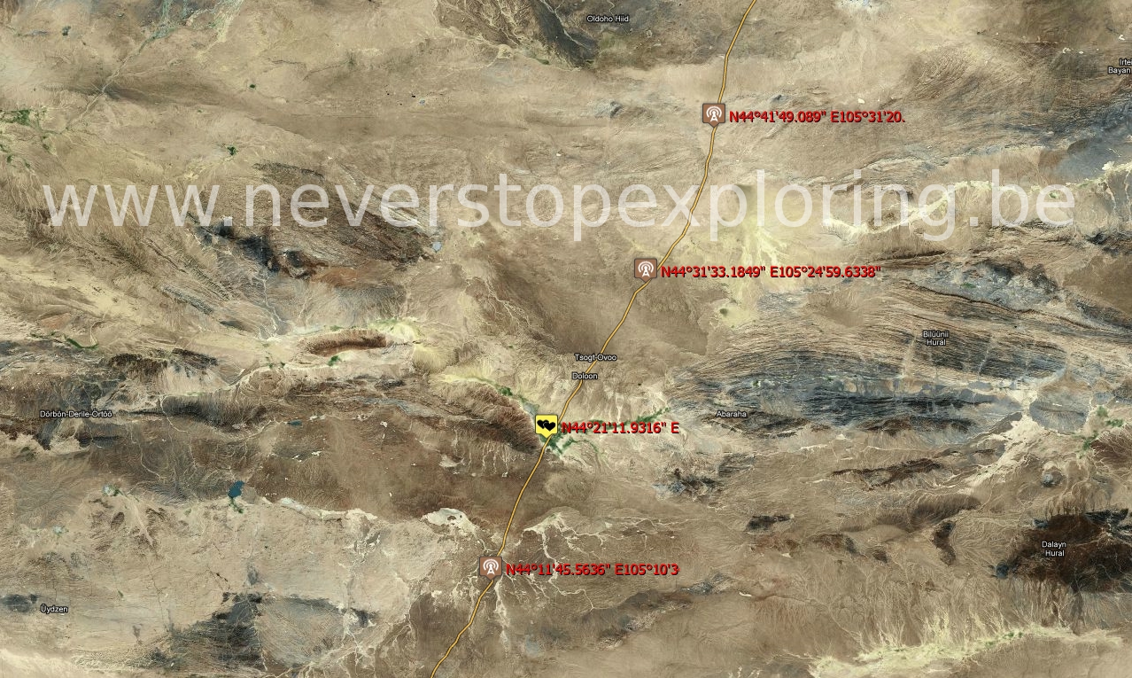
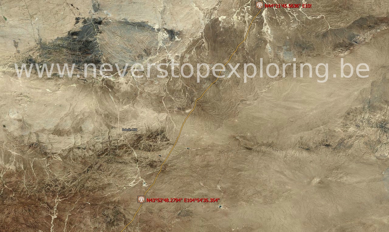
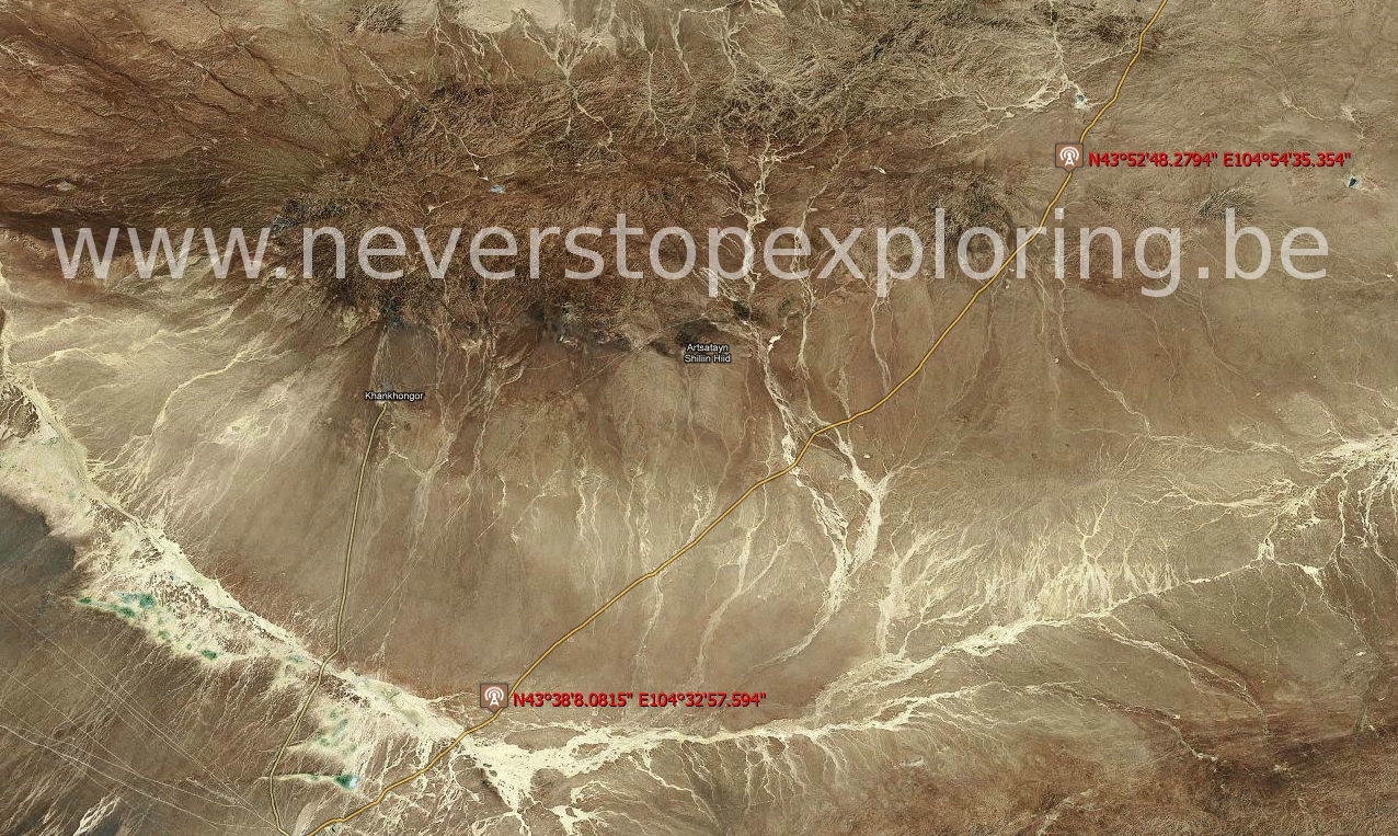
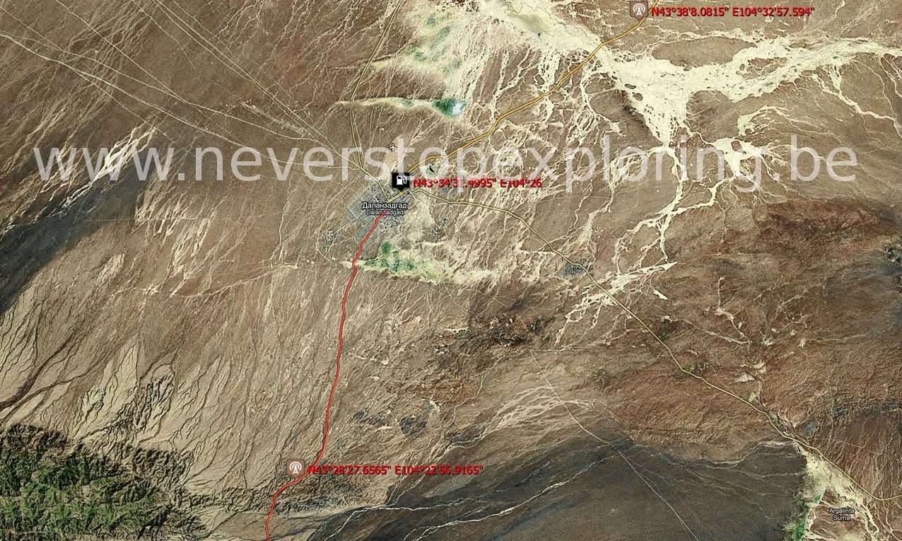
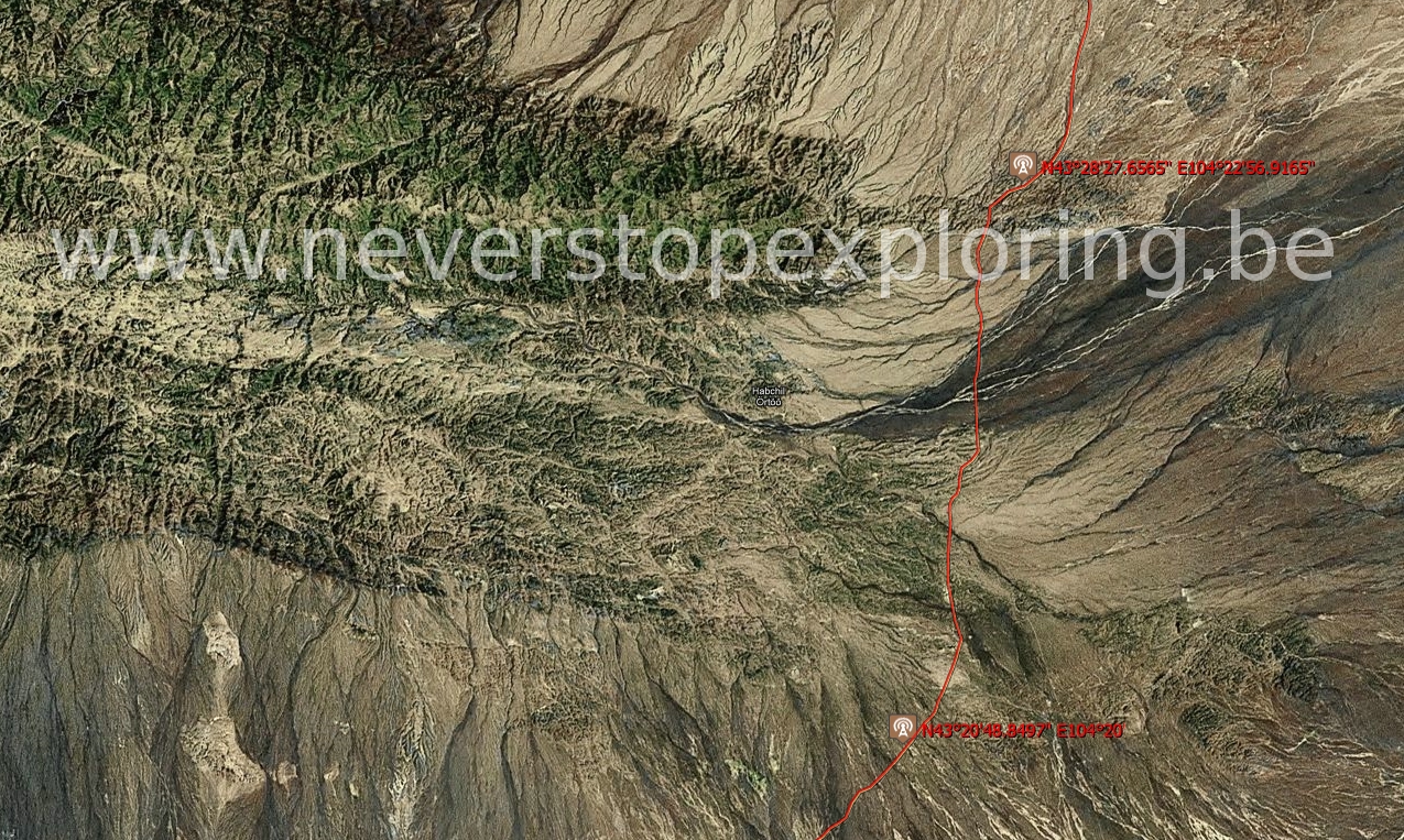
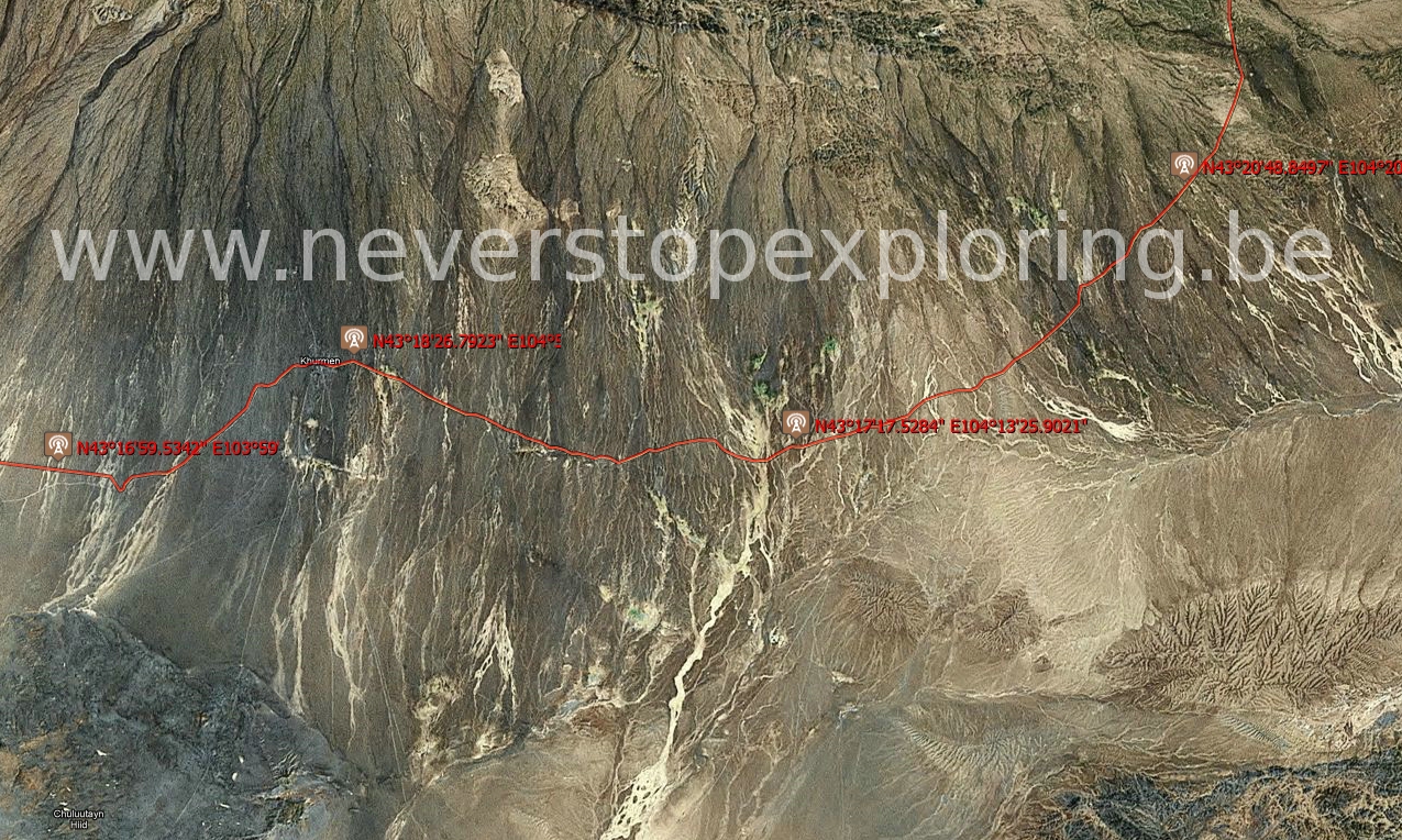
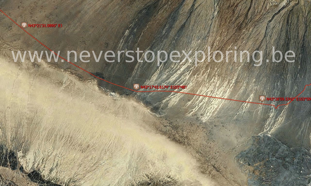
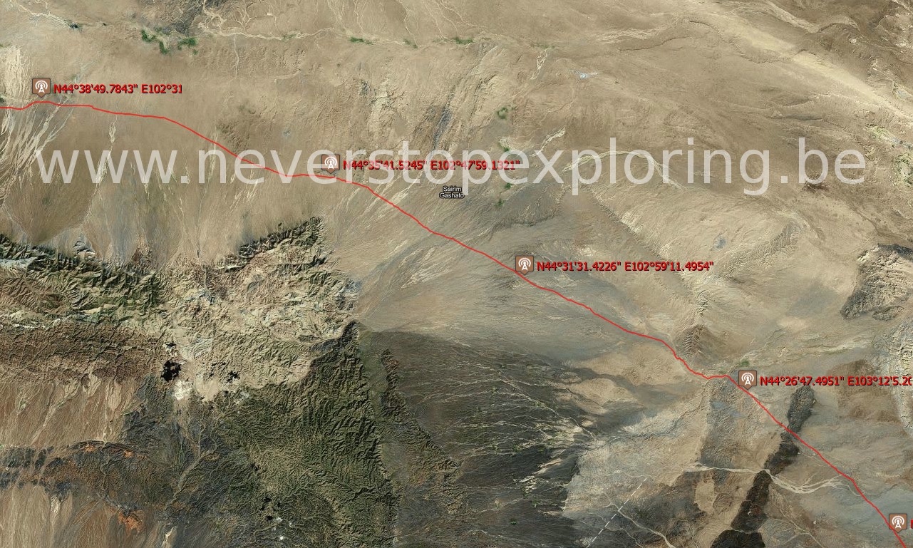
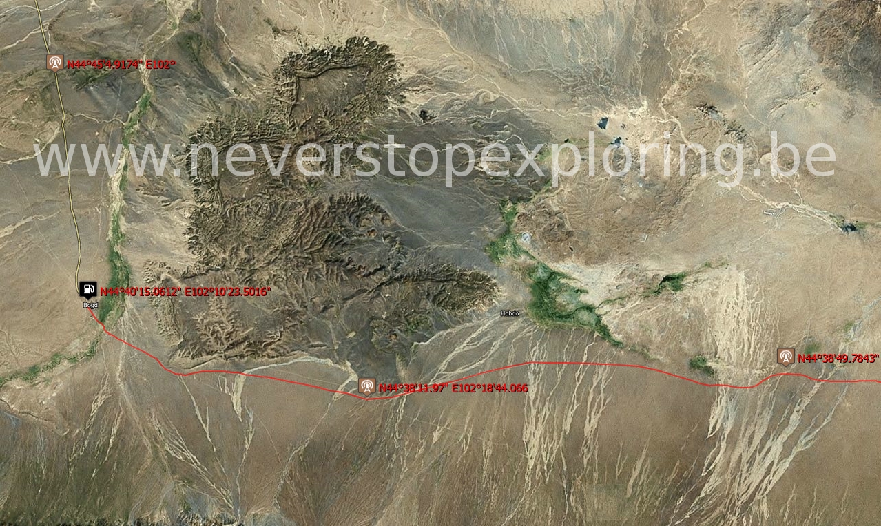
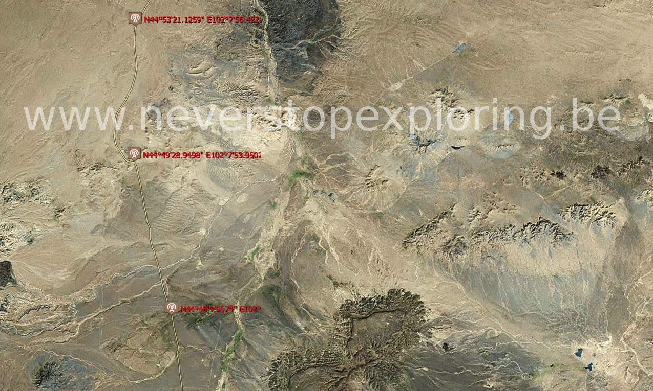
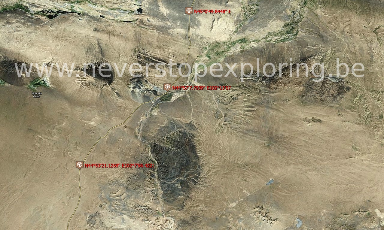
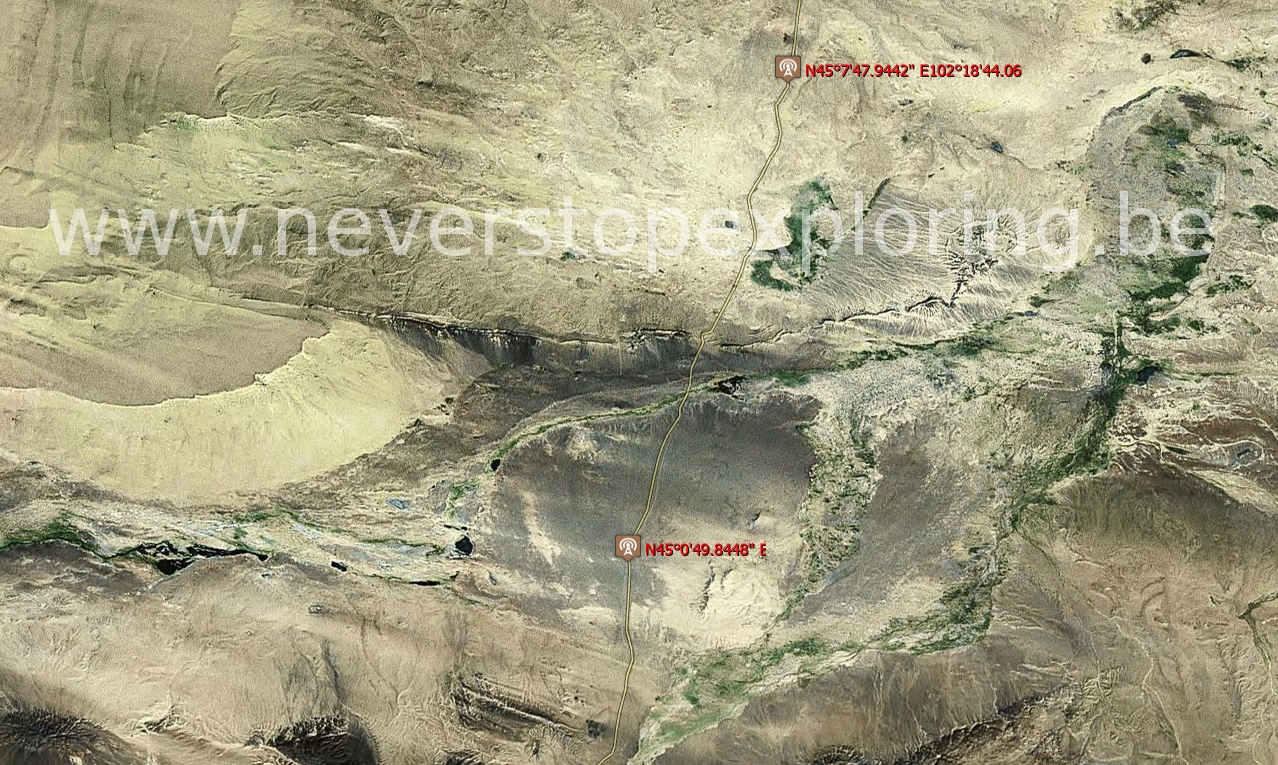
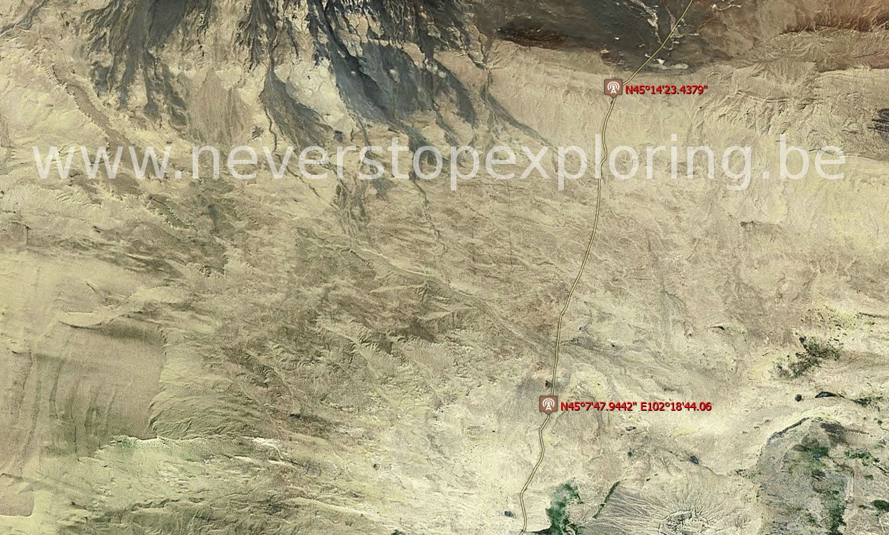
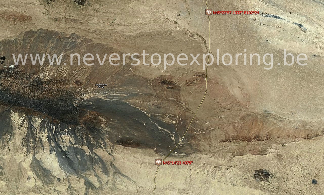
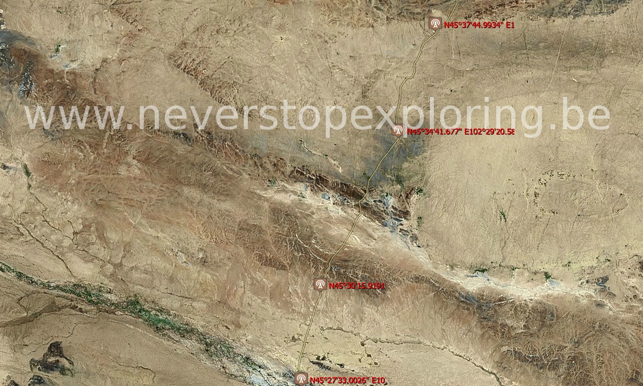
Good maps of Mongolia are hard to find, even in the specialized shops. If you are looking for a general overview of the country (high scale), no worries of course. But if you wish to orientate in the middle of nowhere, better go for a low scale map (high accuracy) which is far more hard to find or impossible. This is the reason of this article.
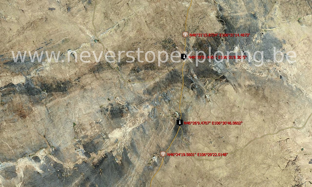
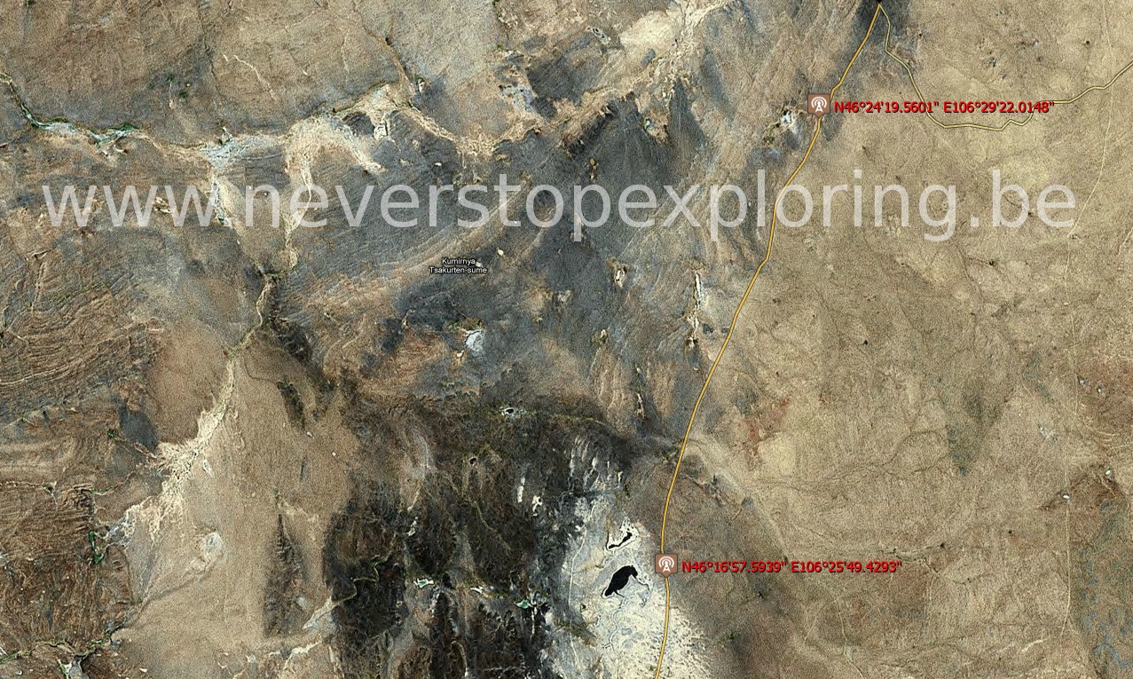
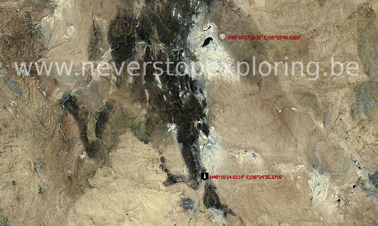
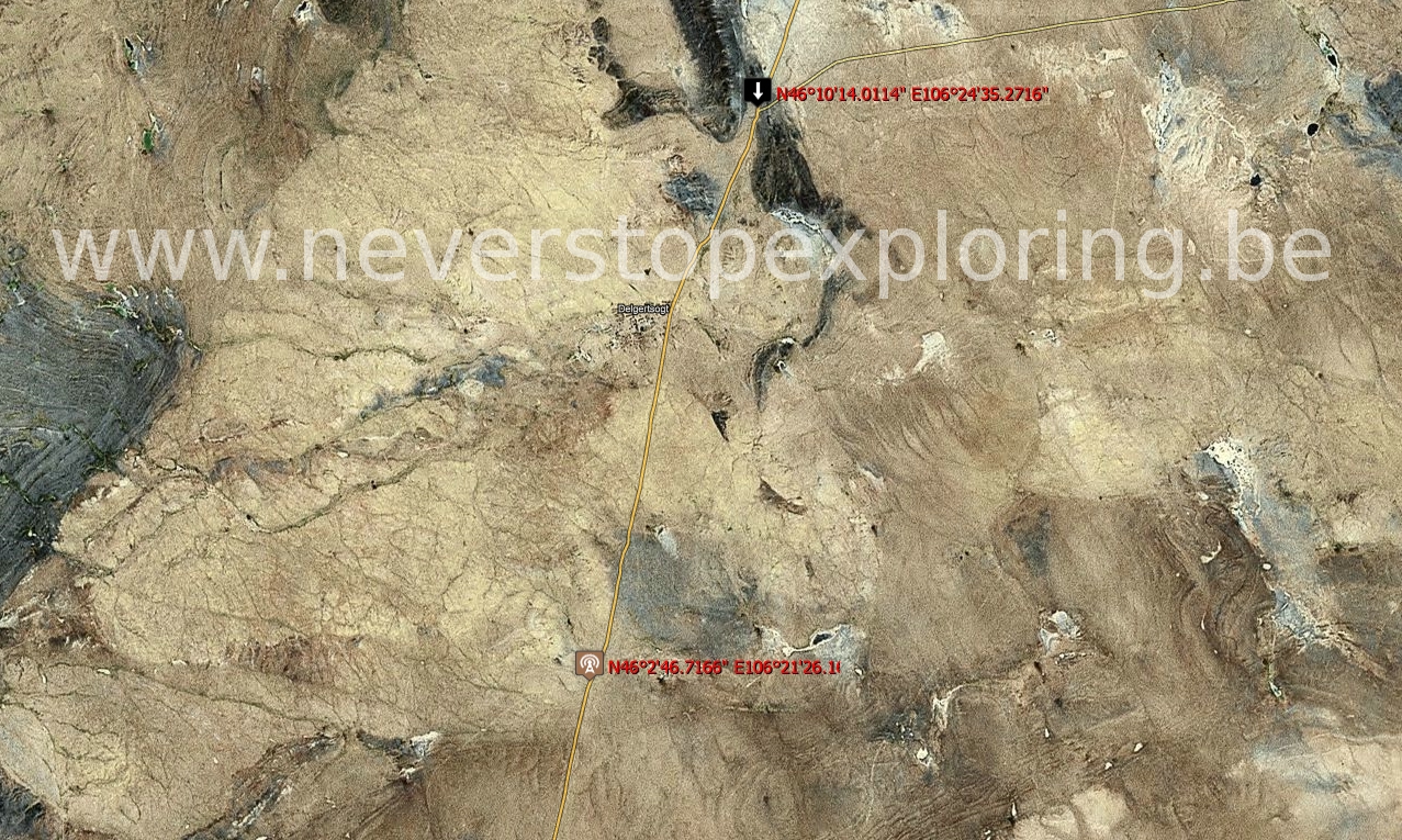
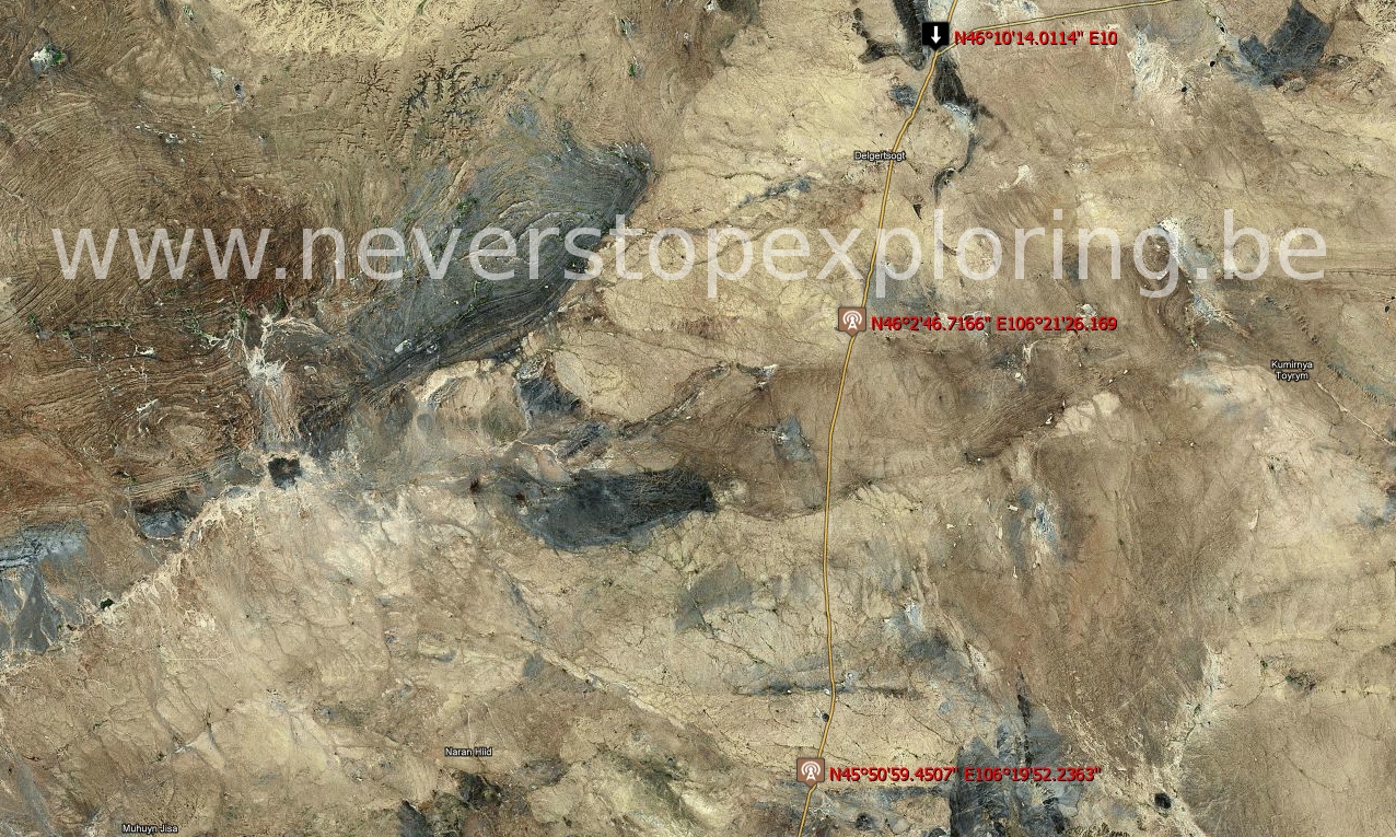
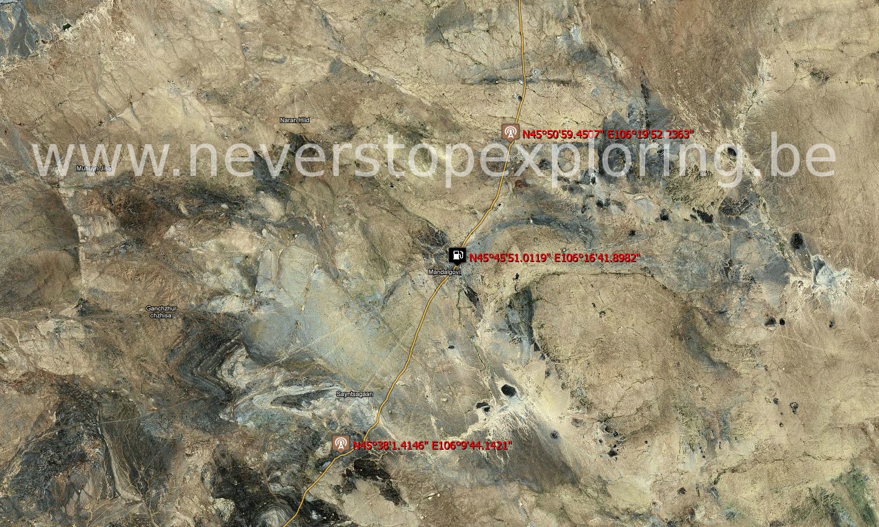
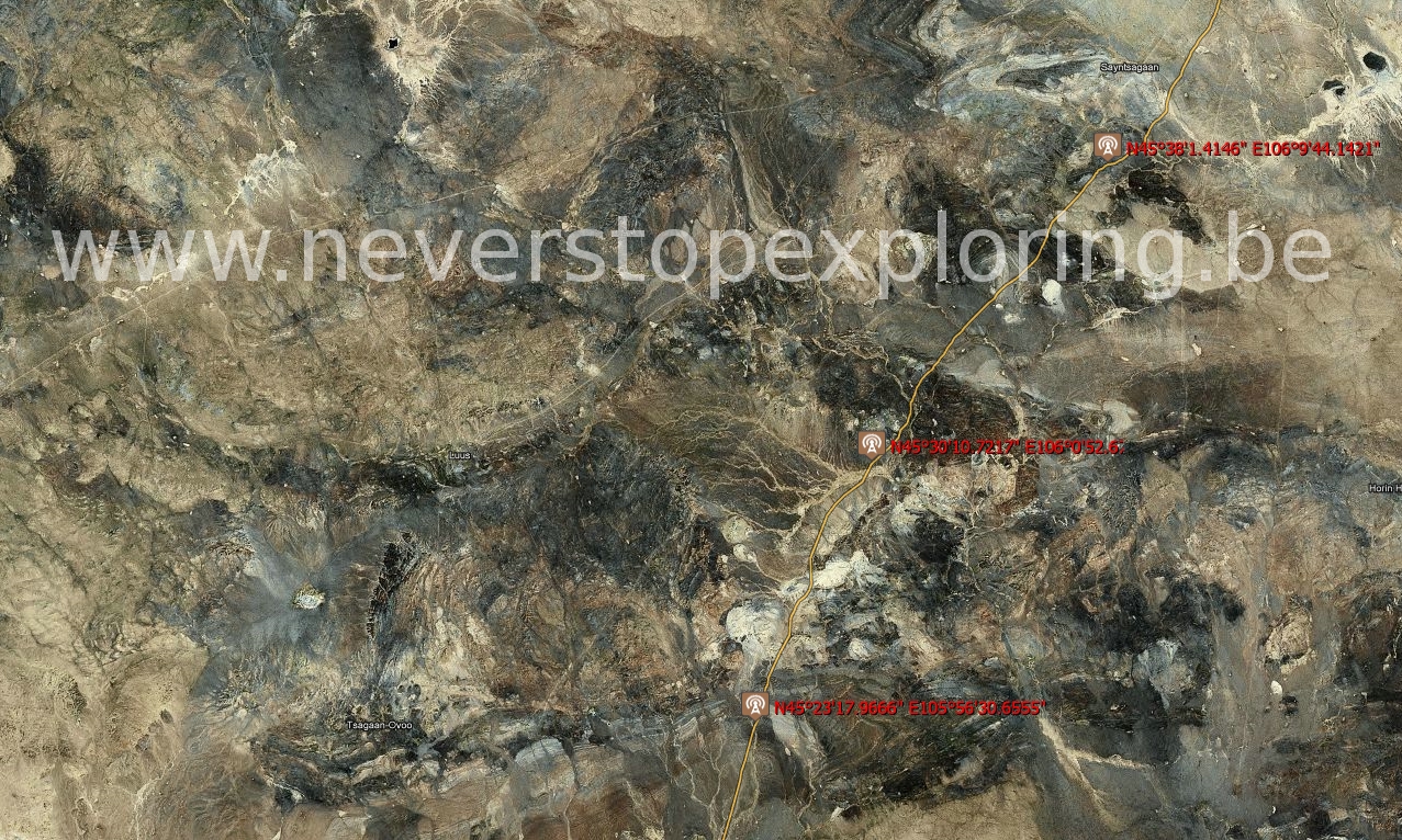
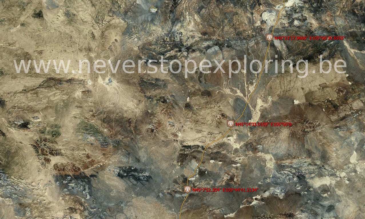
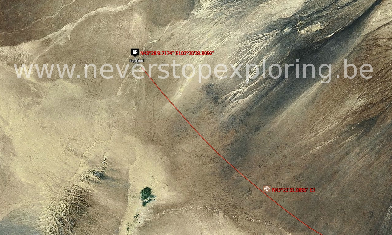
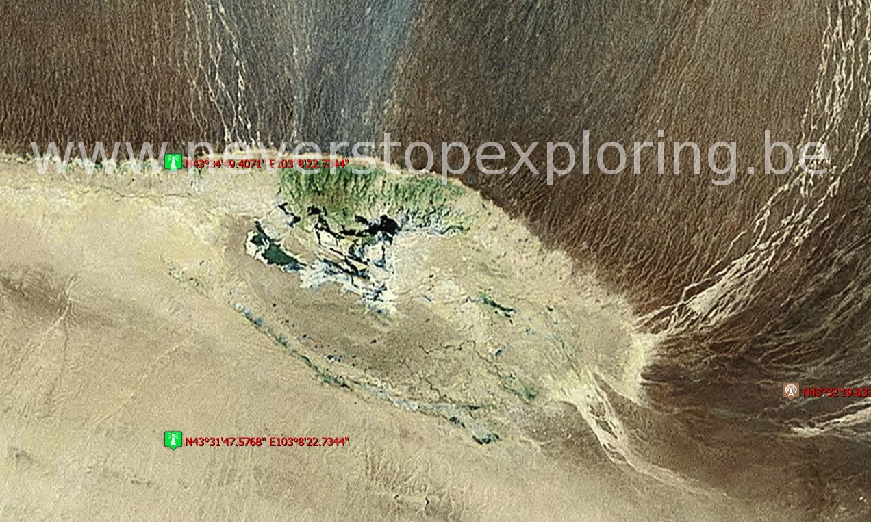
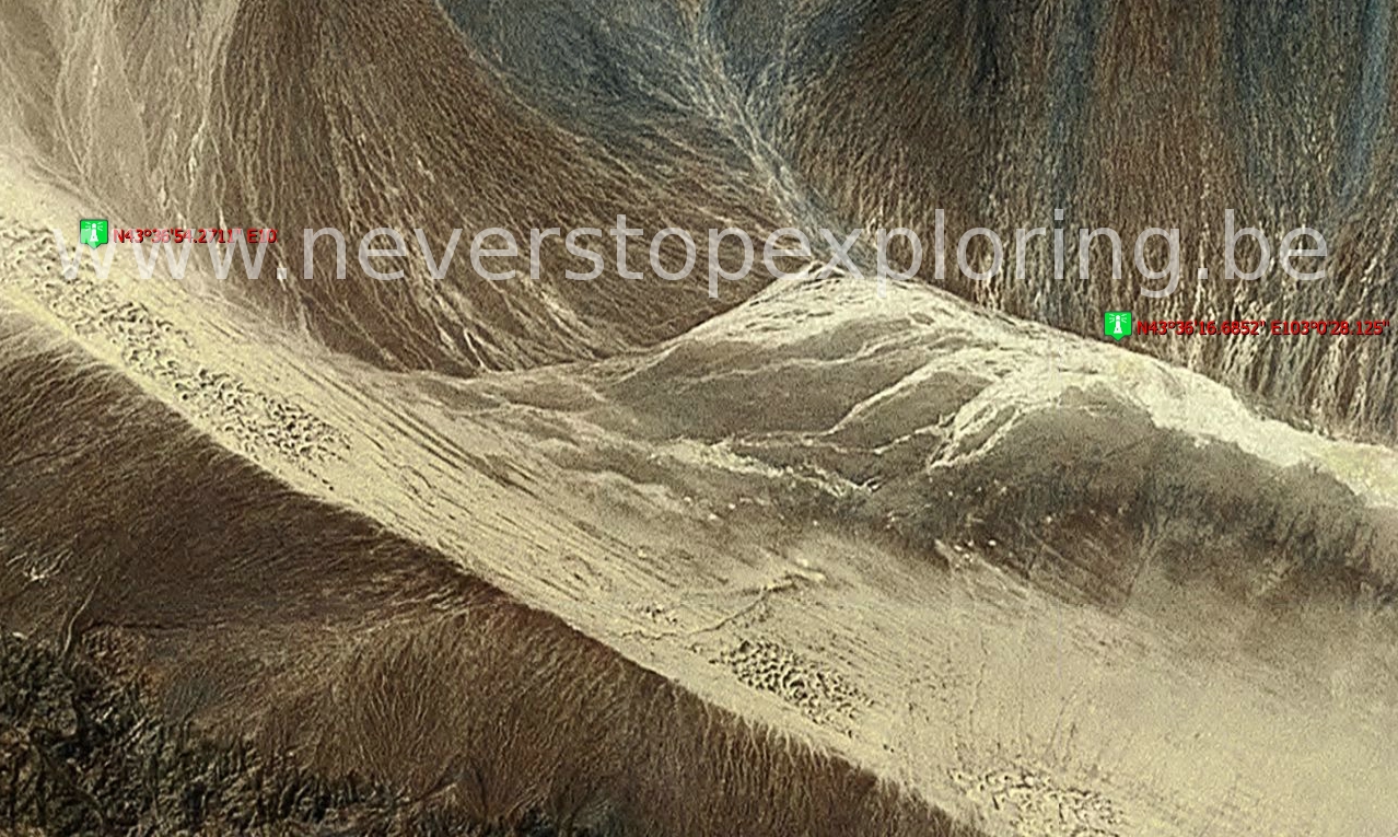
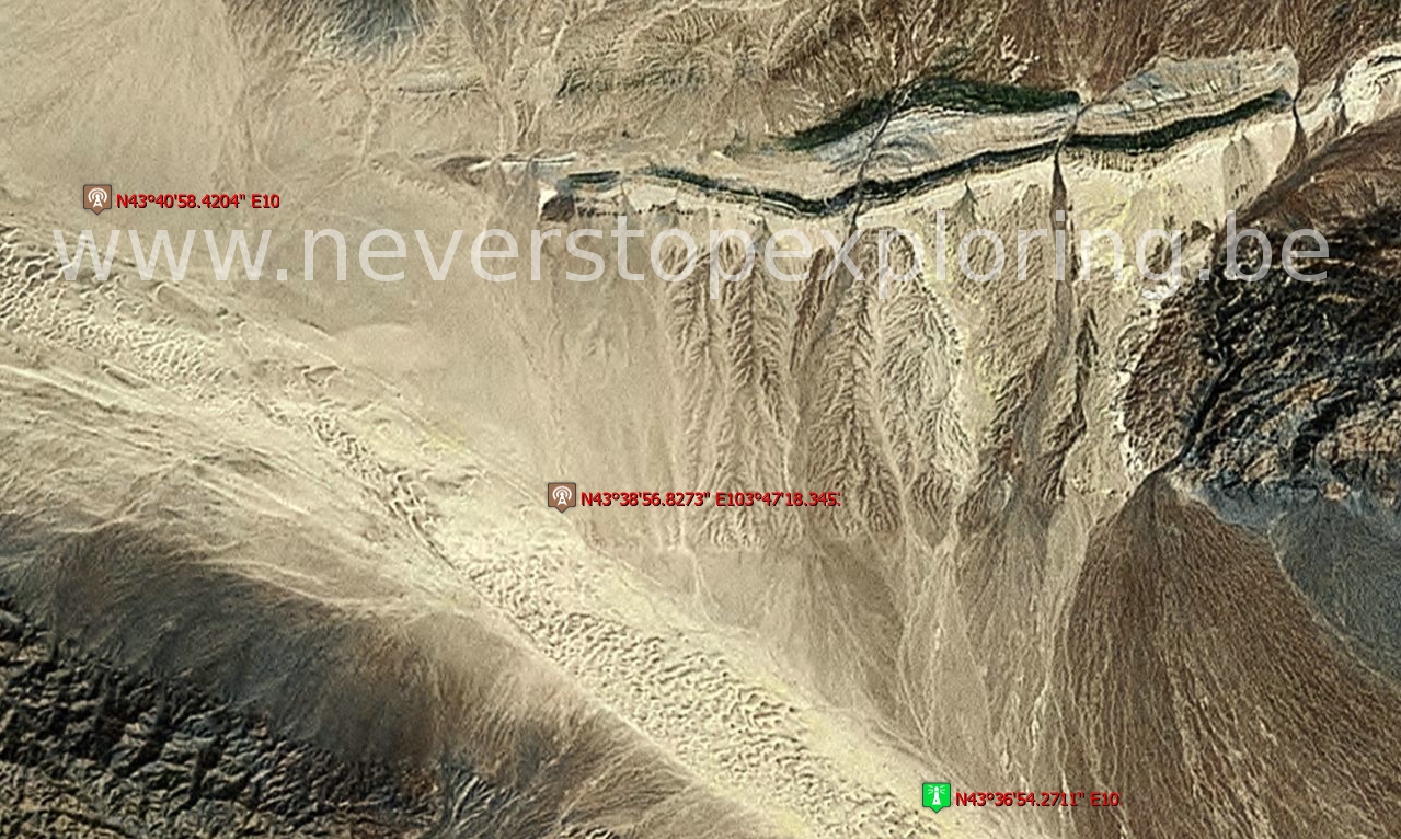
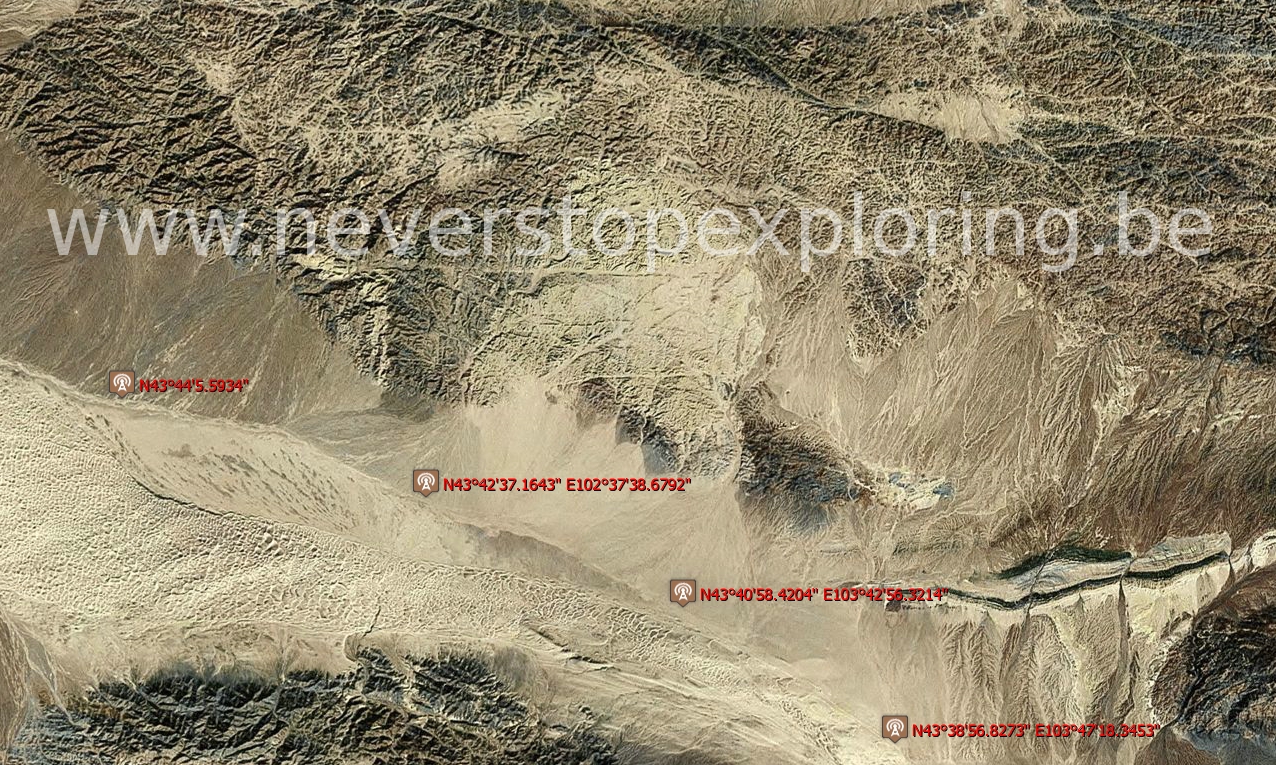
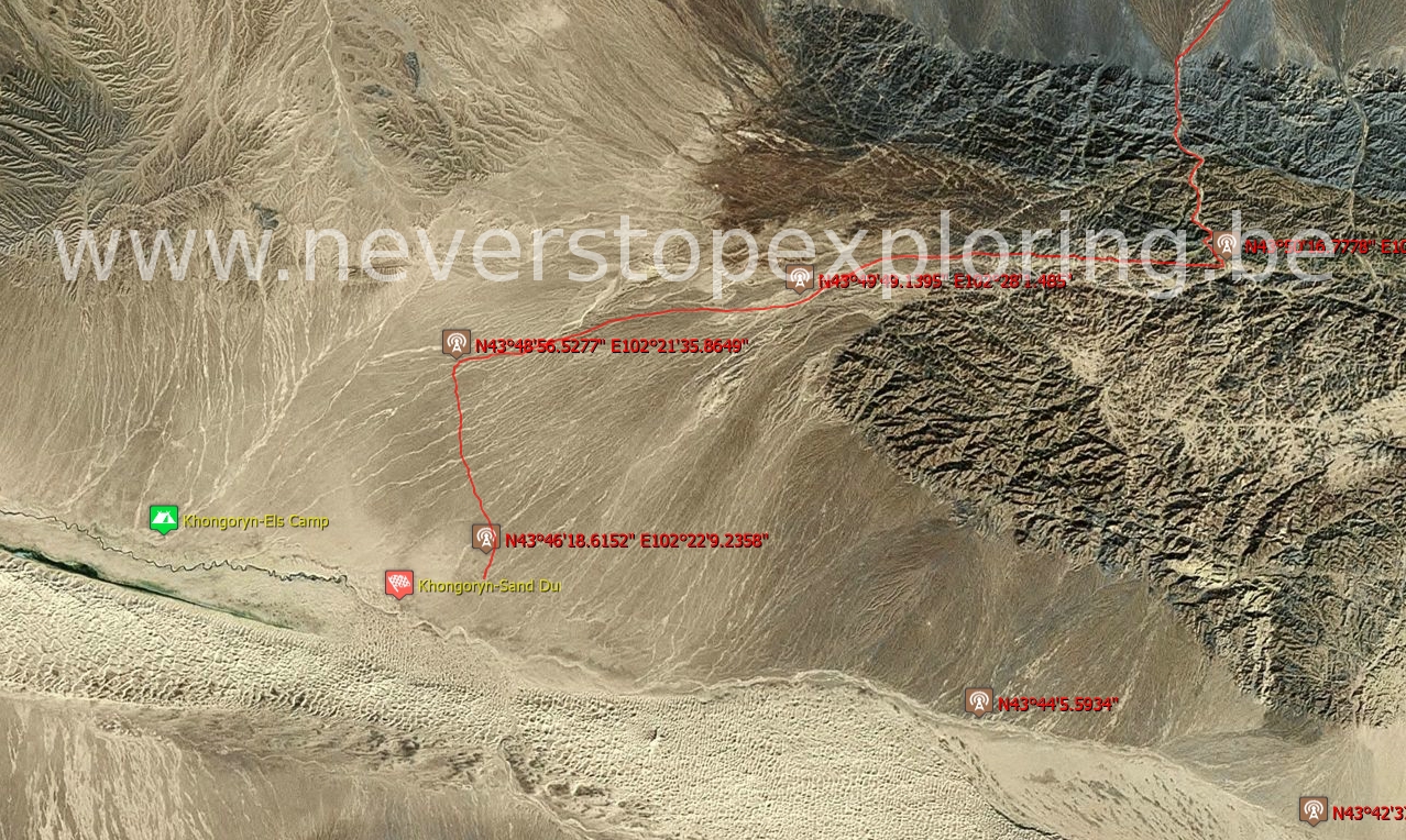
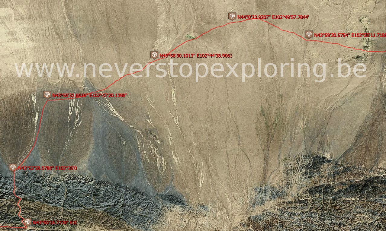
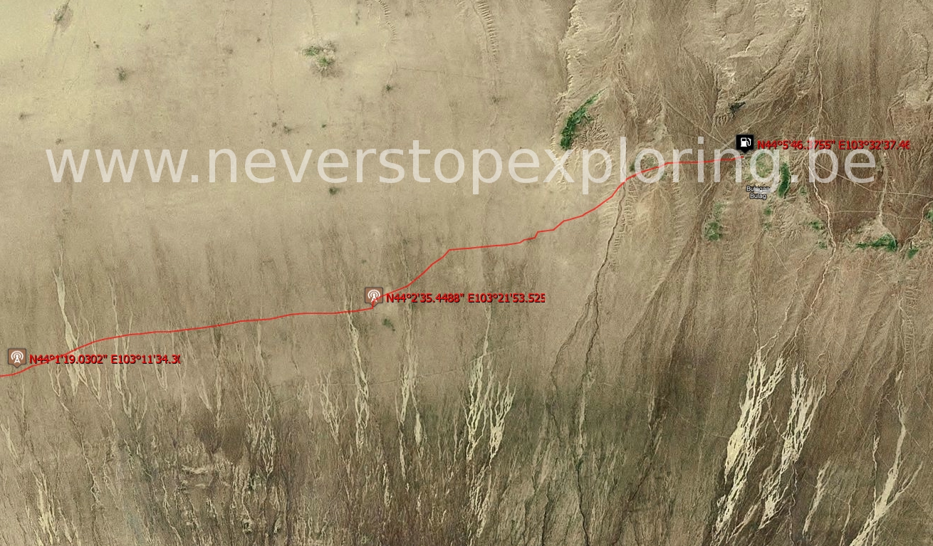
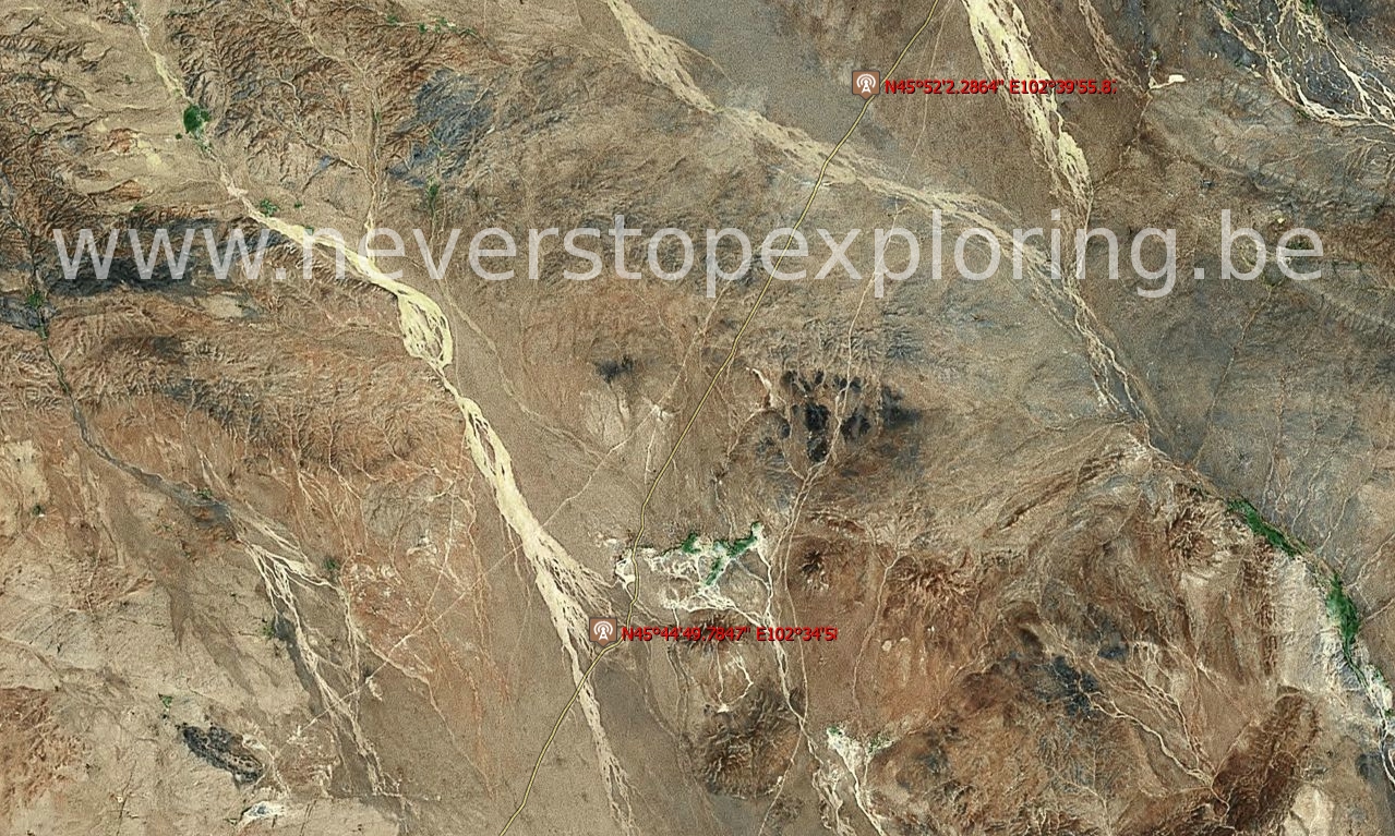
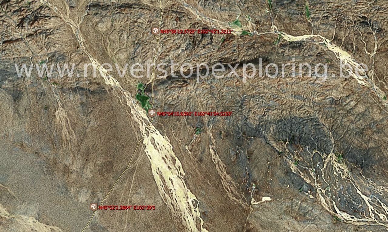
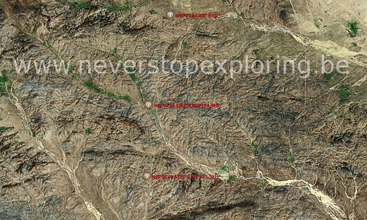
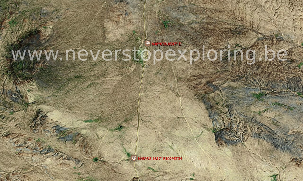
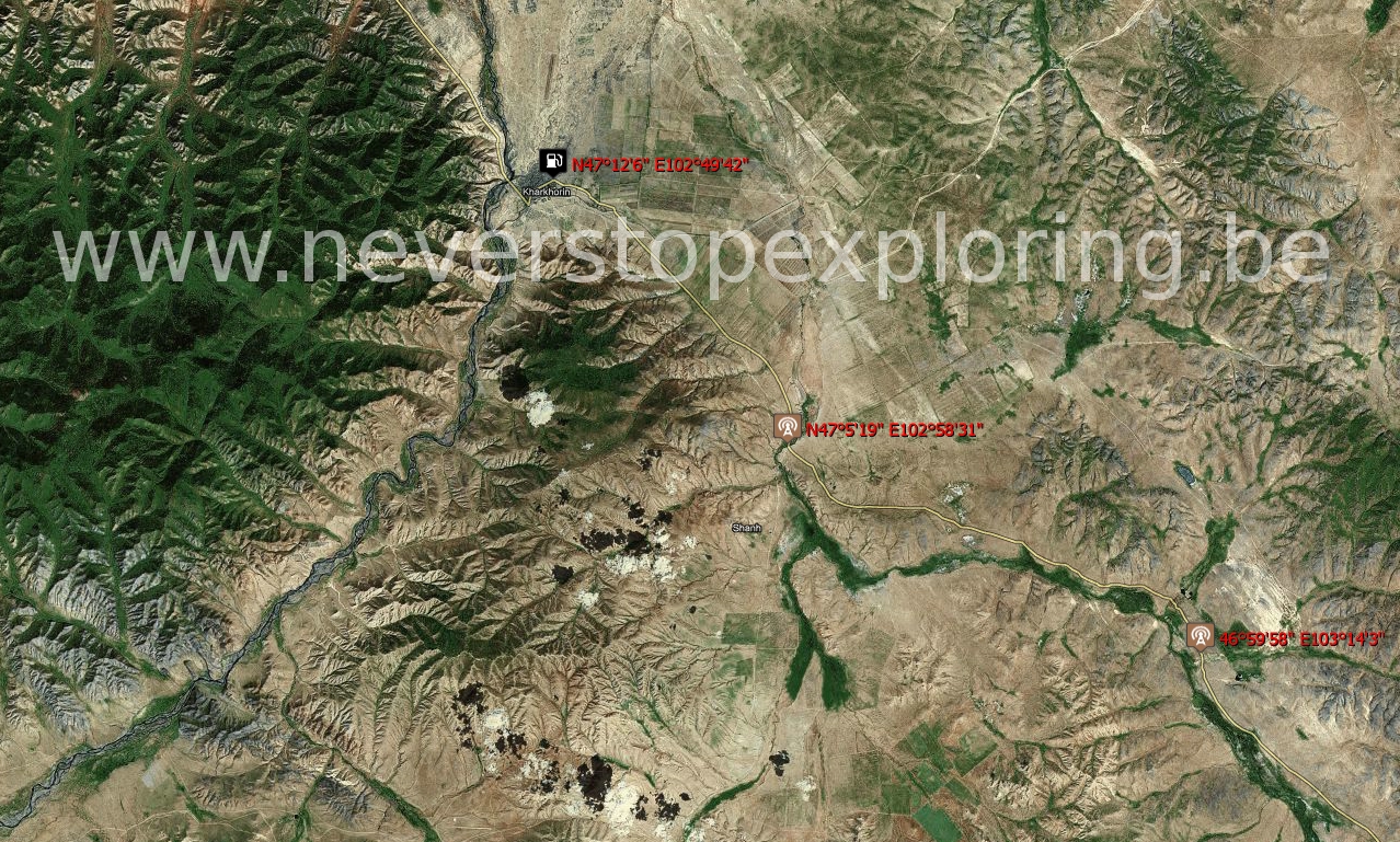
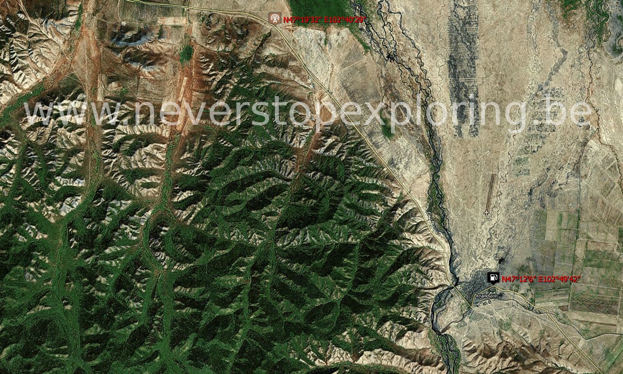
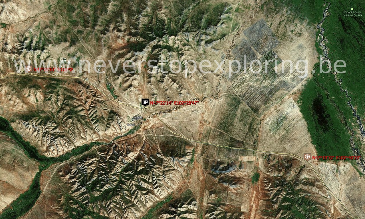
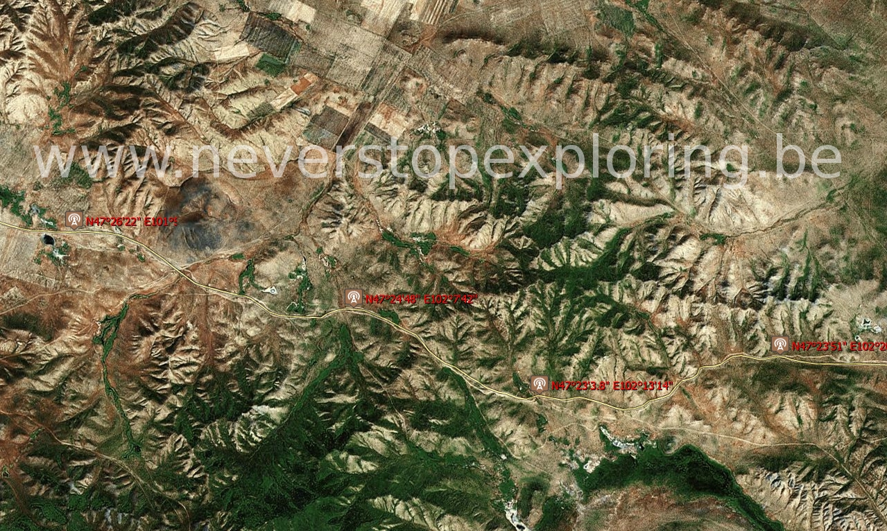
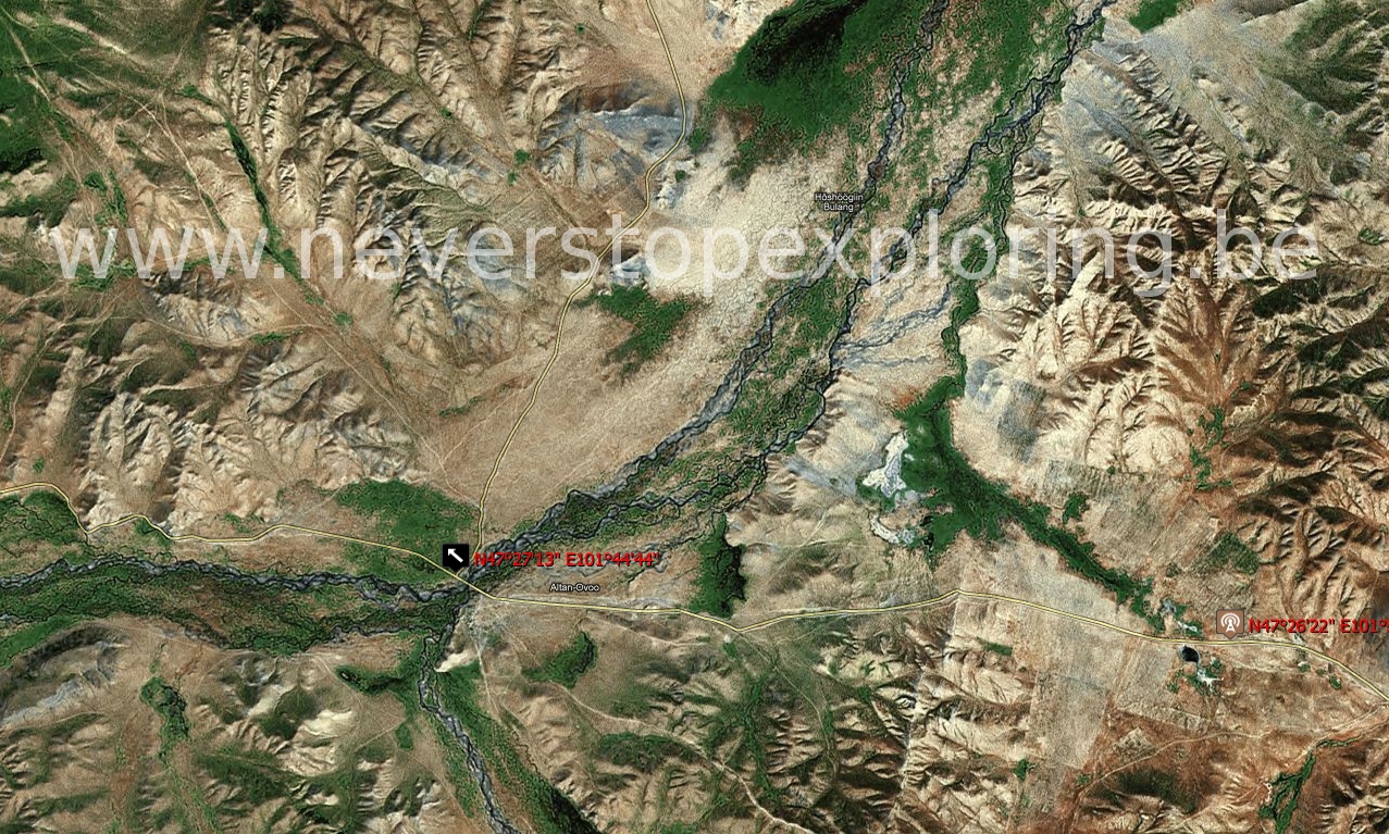
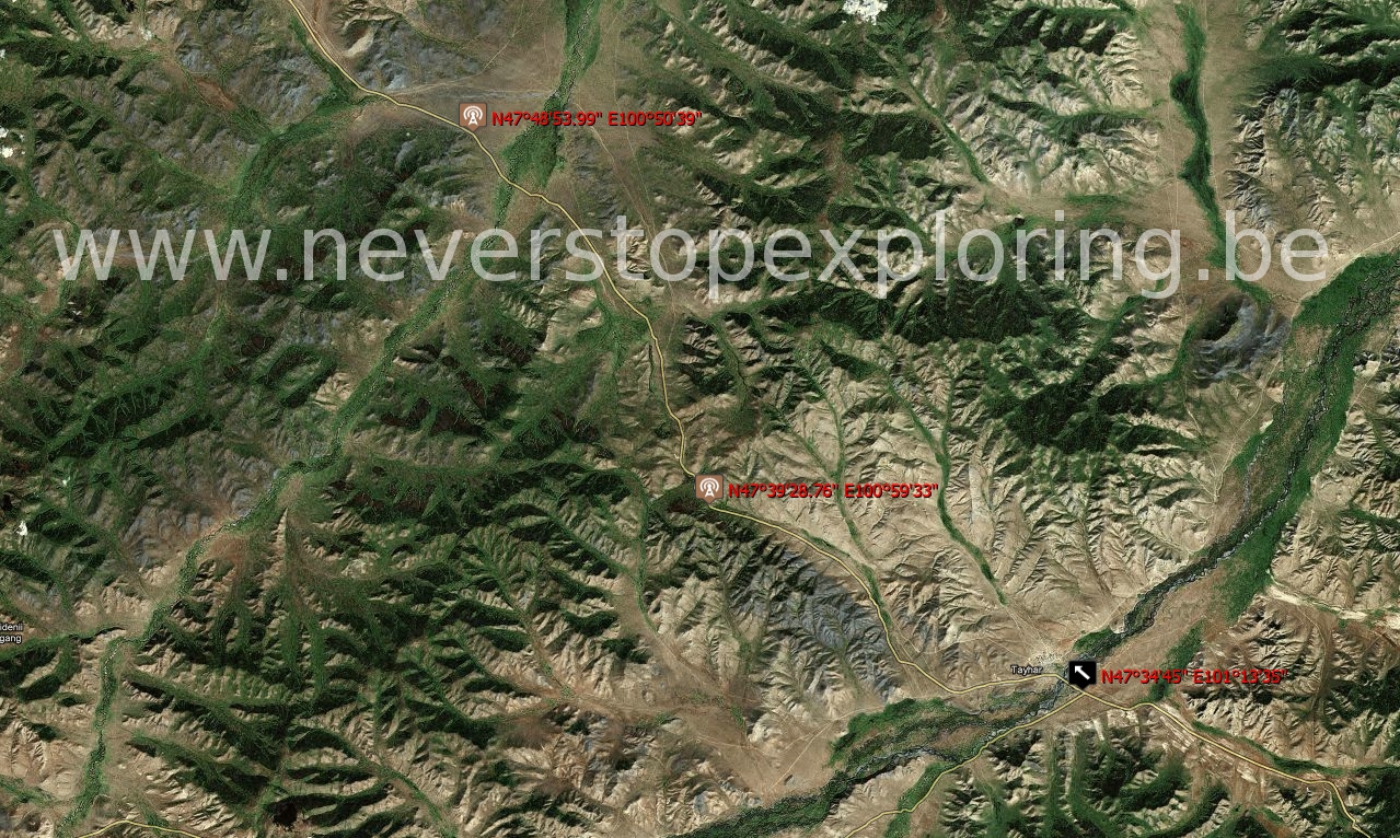
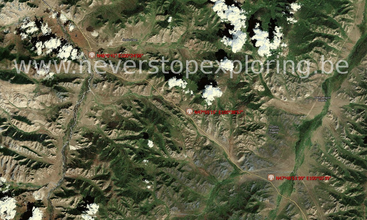
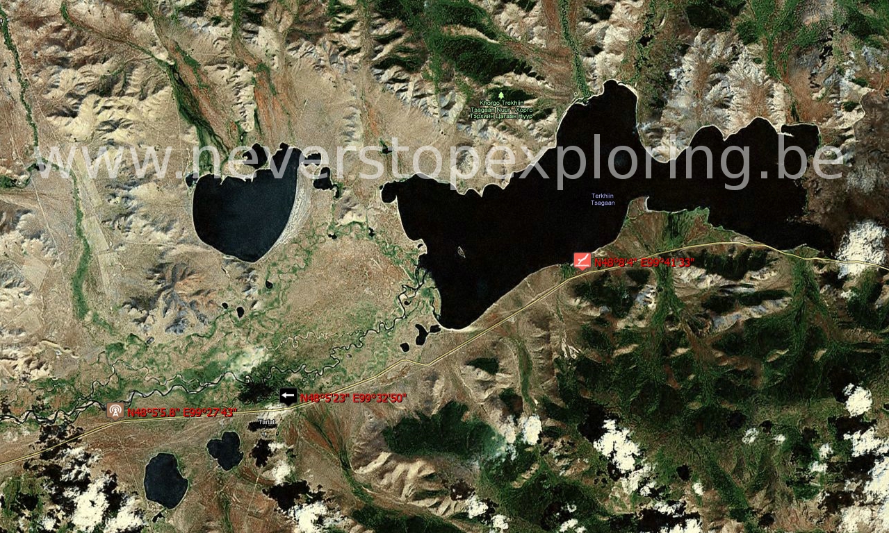
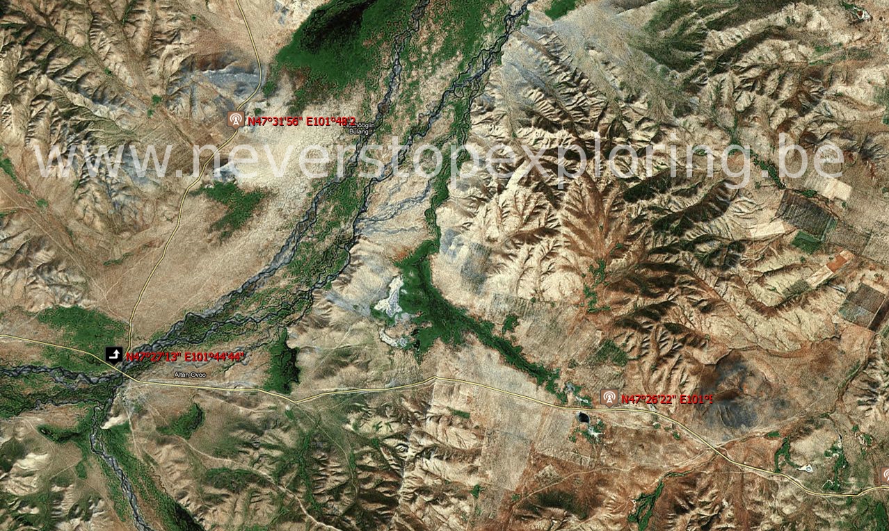
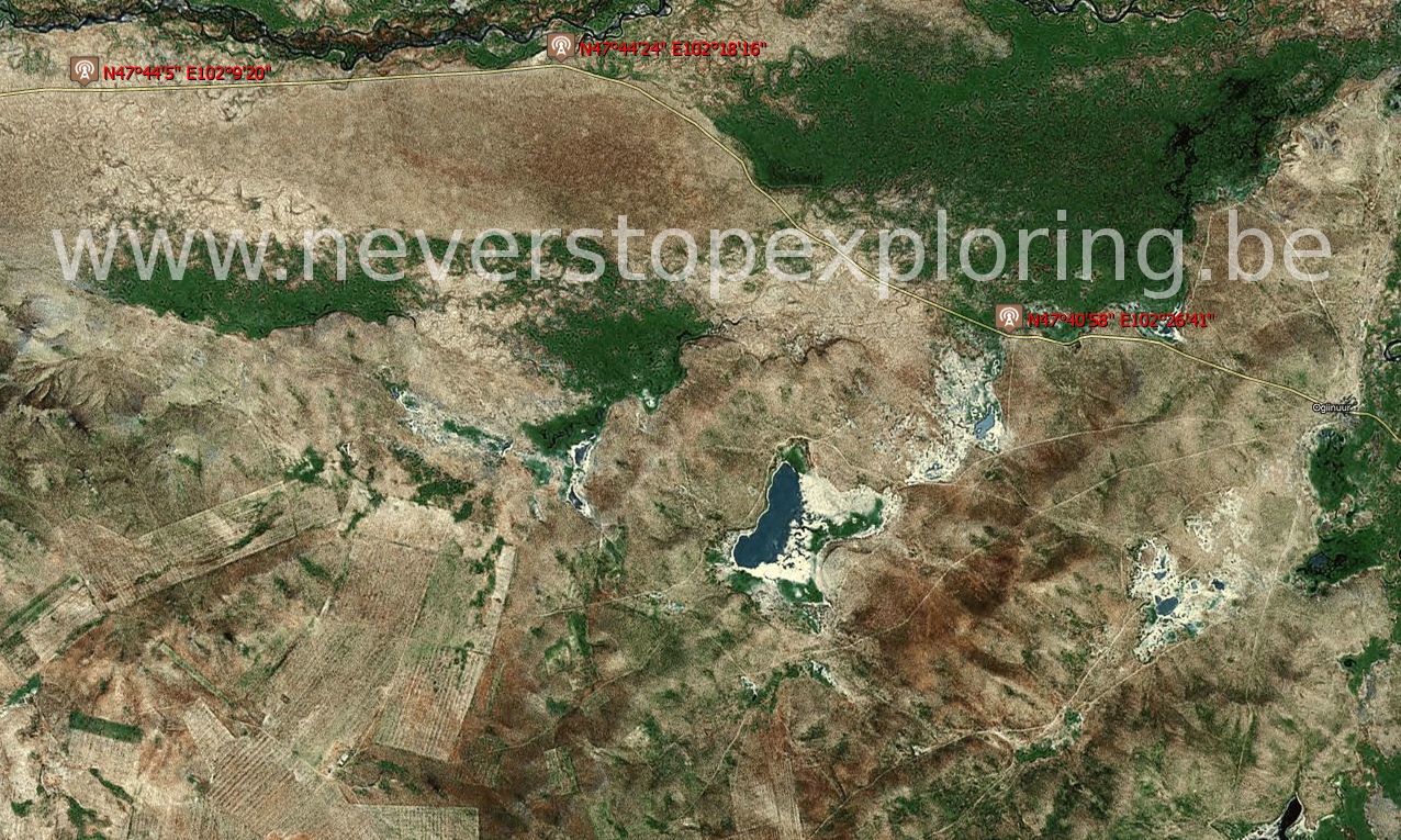
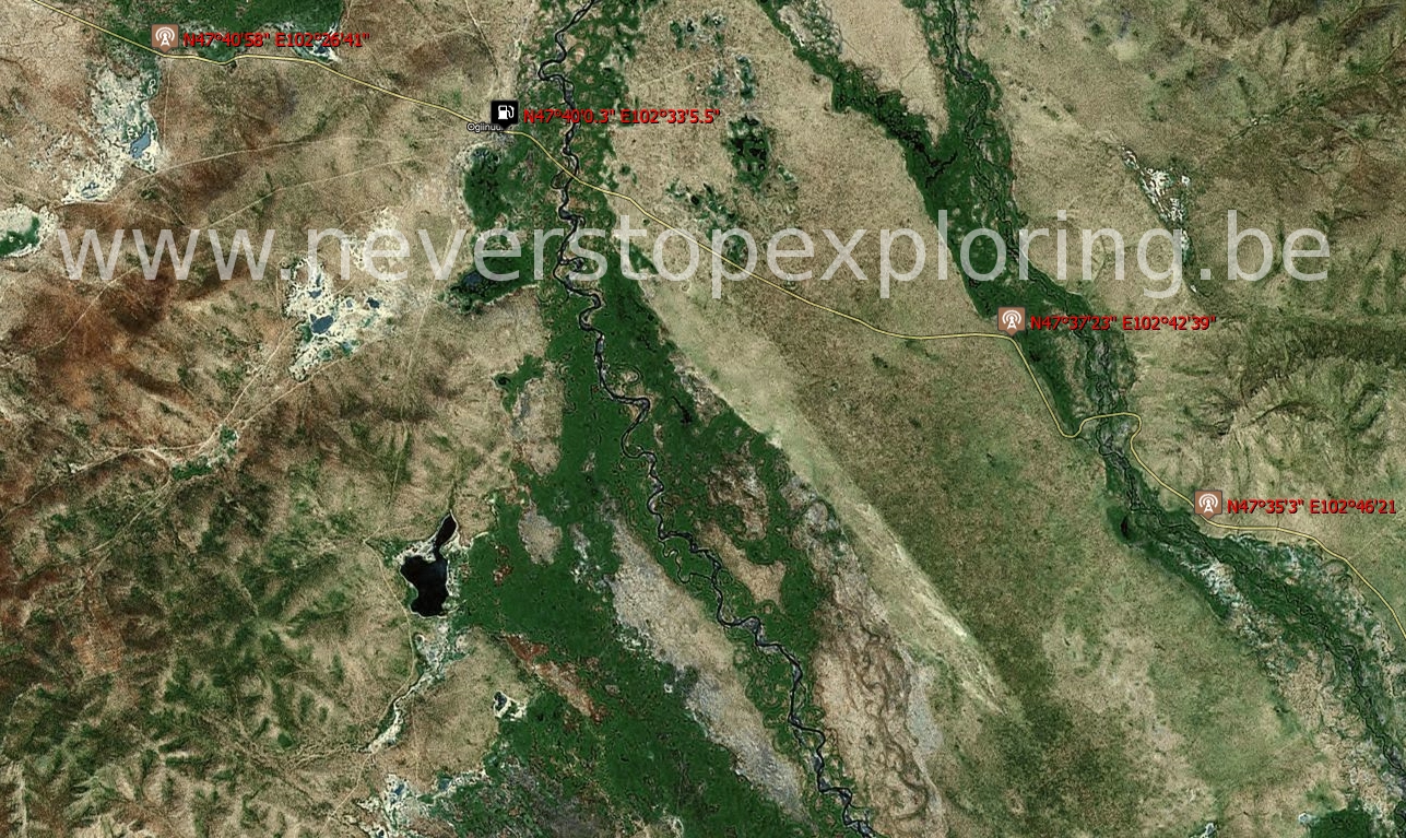
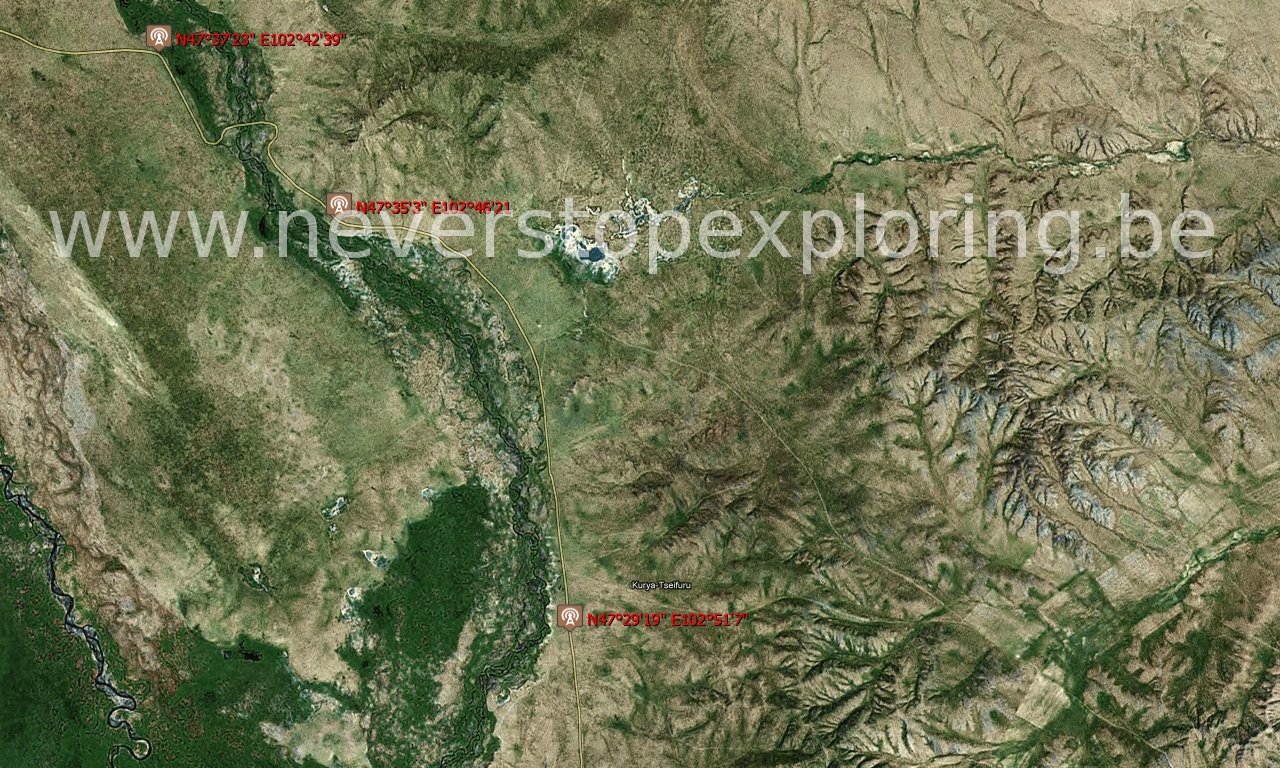
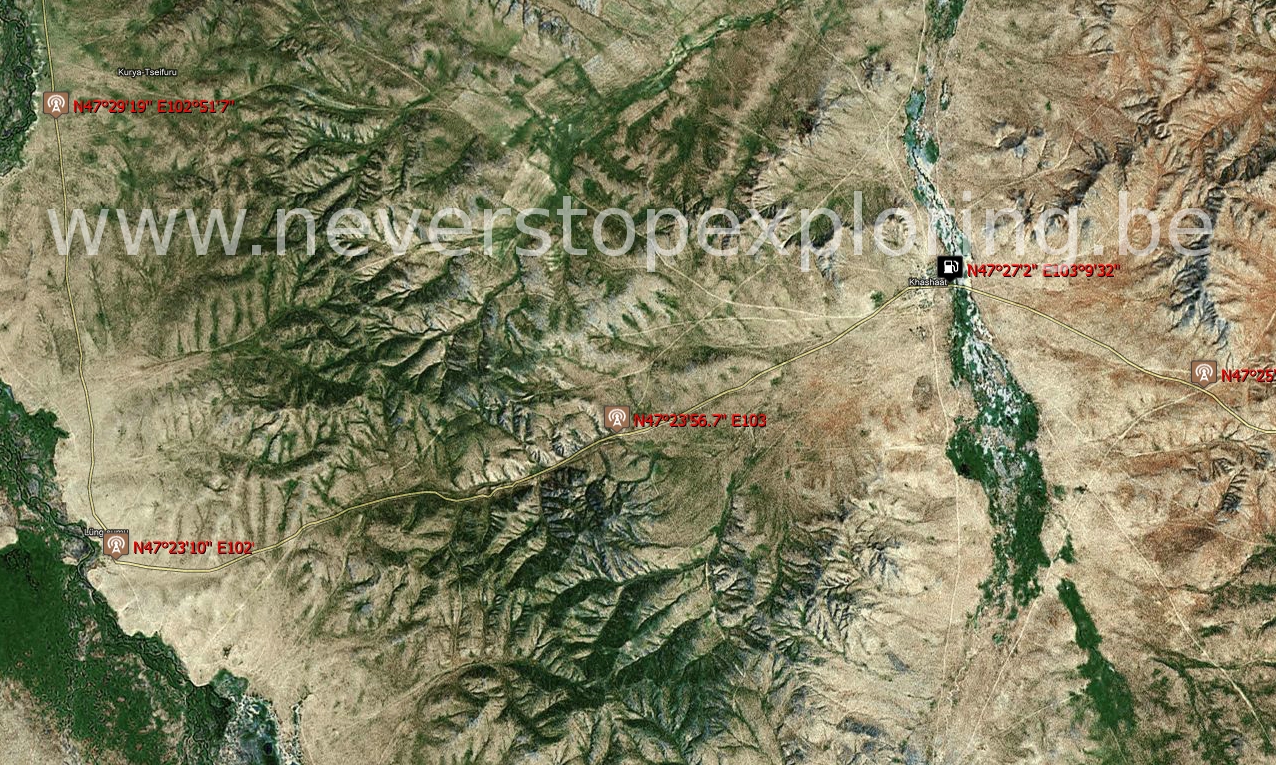
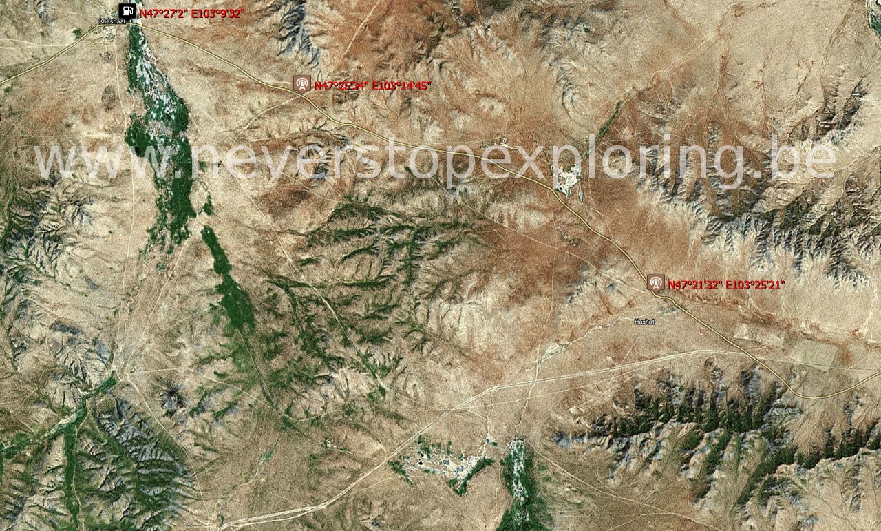
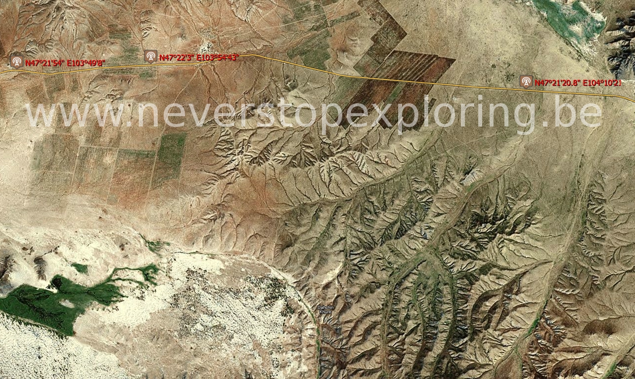
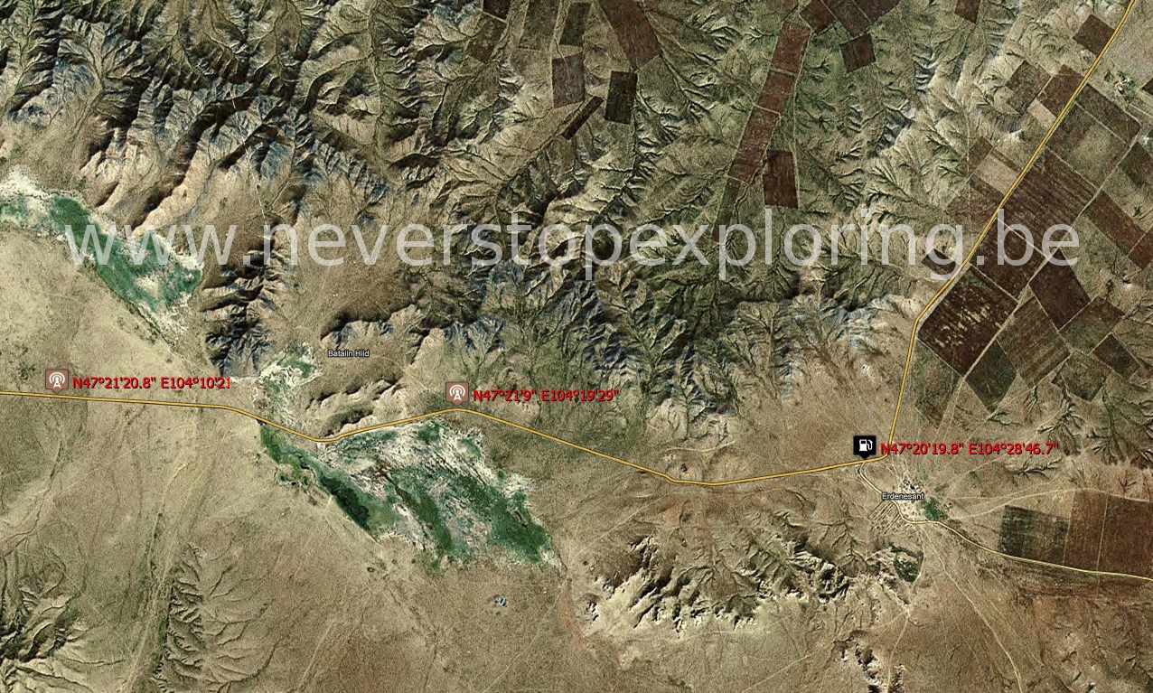
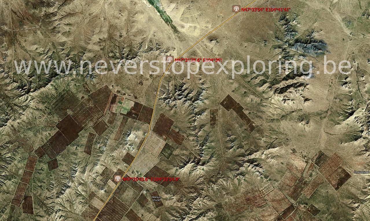
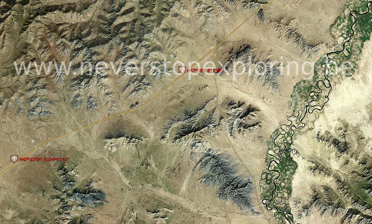
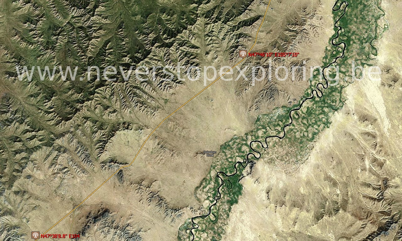
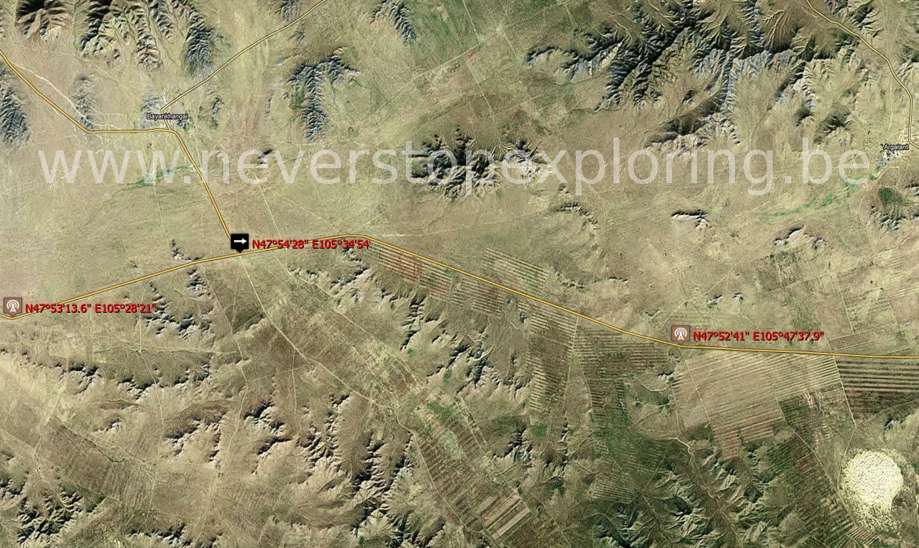
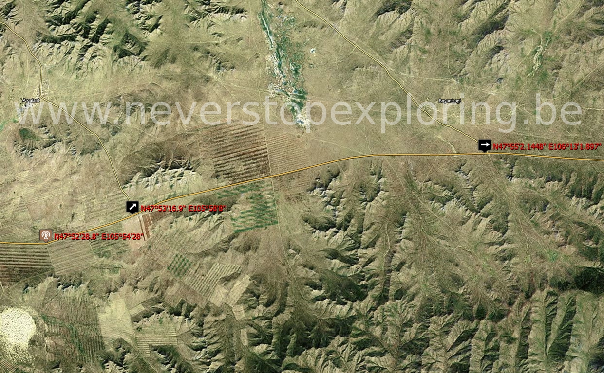
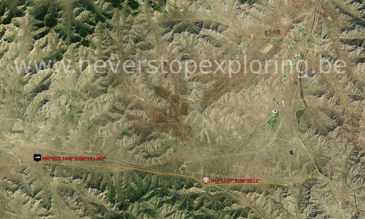
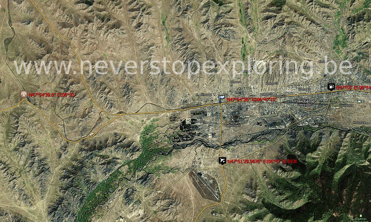
Indeed, you will find hereafter a roadbook for download. The latter is based on satellites views on which the tracks were deduced visually and interpolated by splines. Some waypoints were then marked with coordinates to help to orientate in the desert, using the GPS device. The roadbook includes 89 pages for the whole expedition representing 2.700 km of cumulated distance. Please do not hesitate to contact us, should you need further technical information about the creation of these maps.
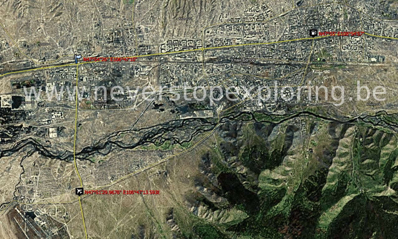
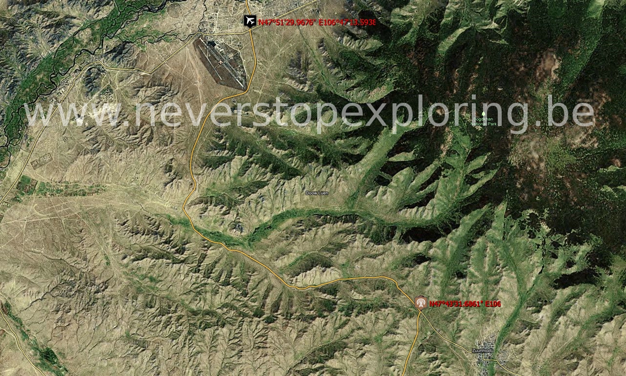
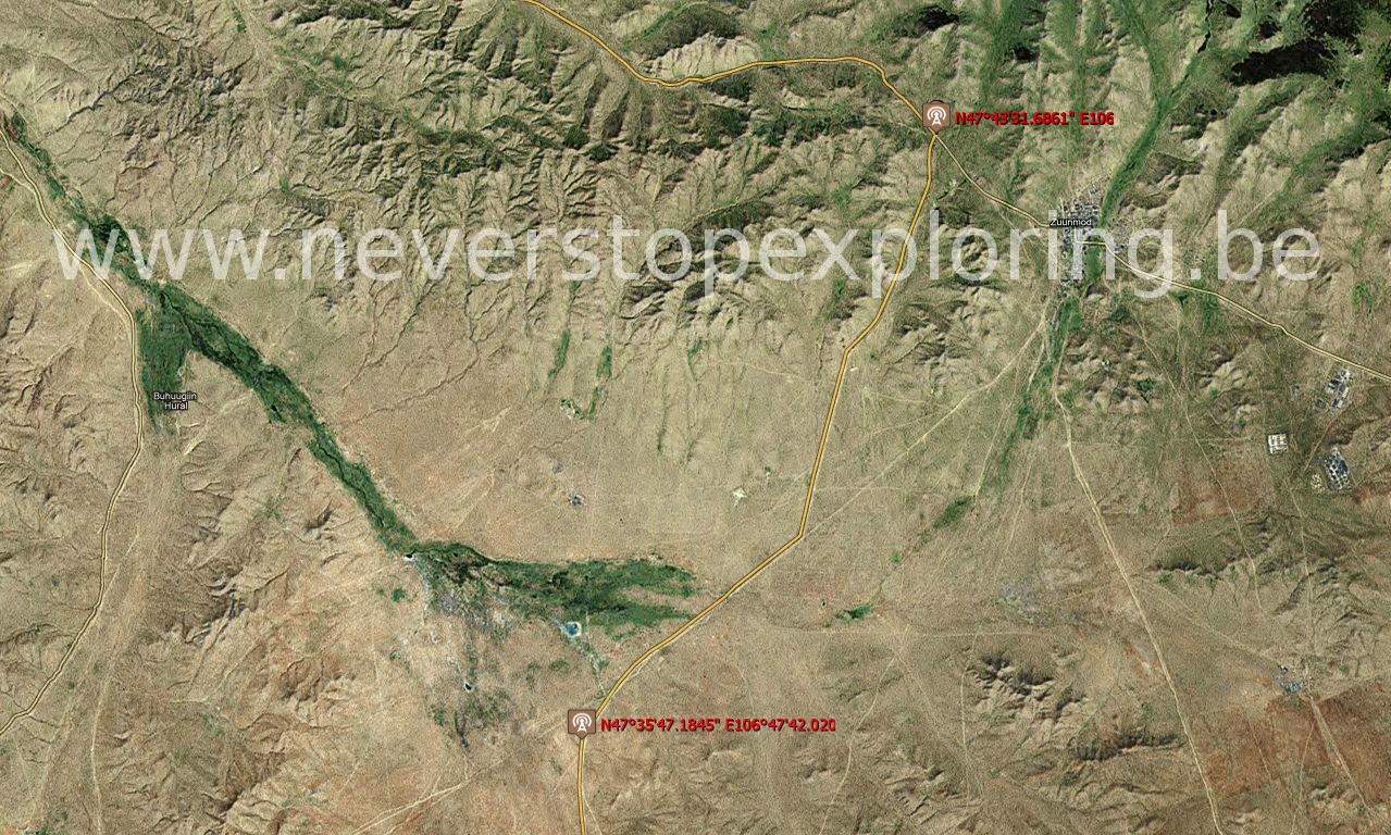
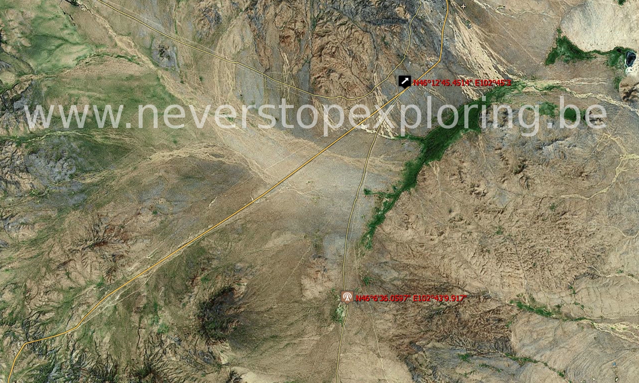
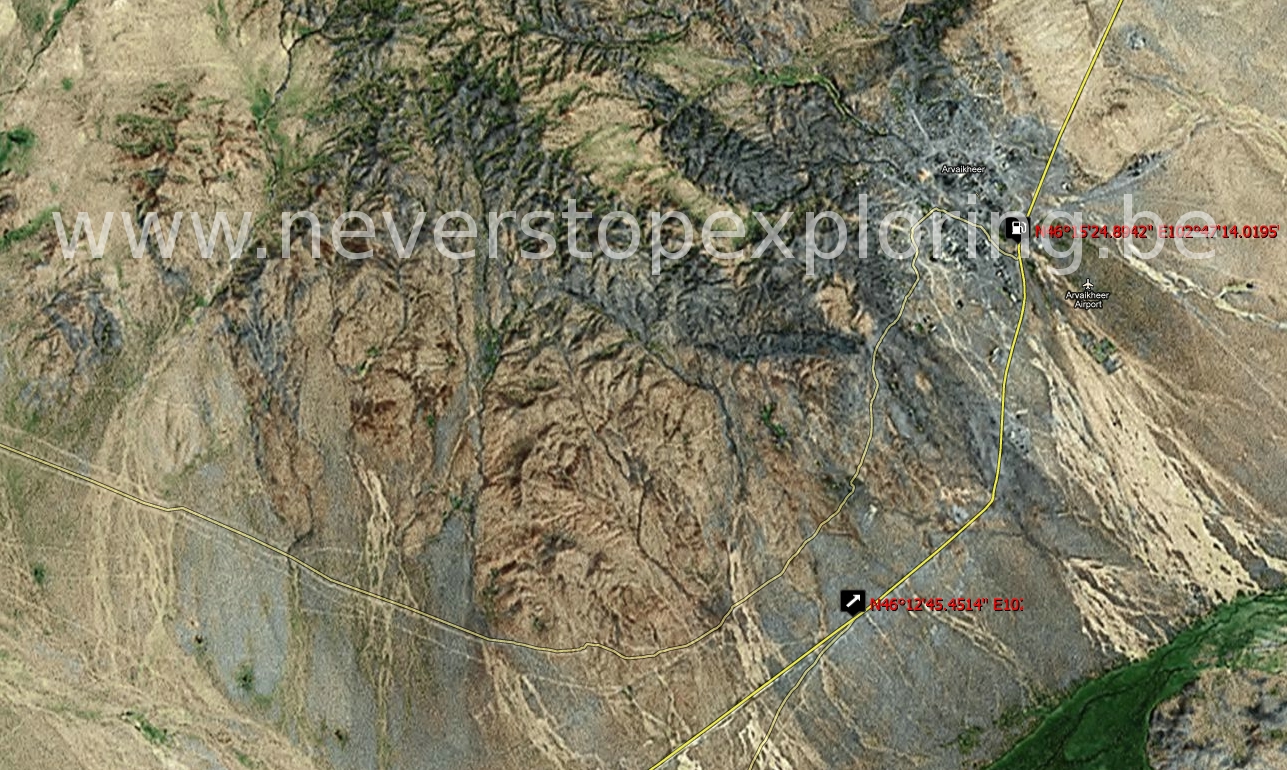
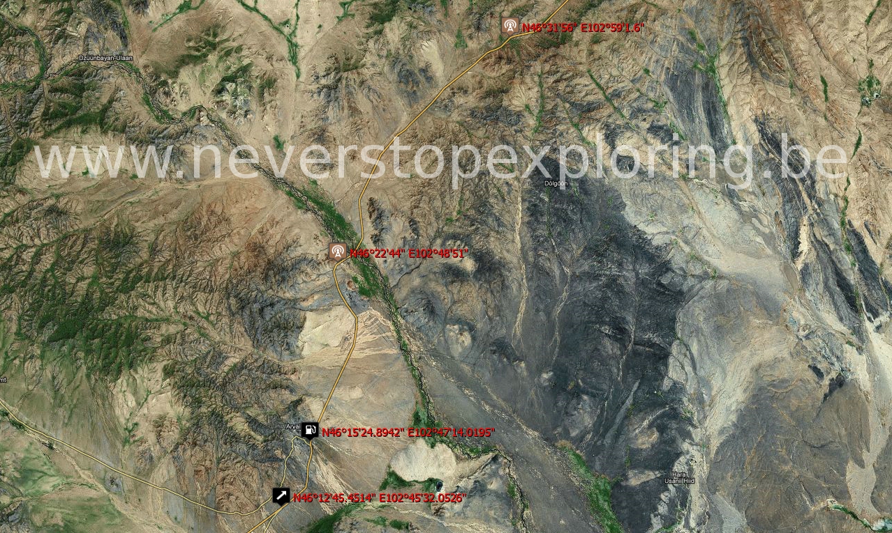
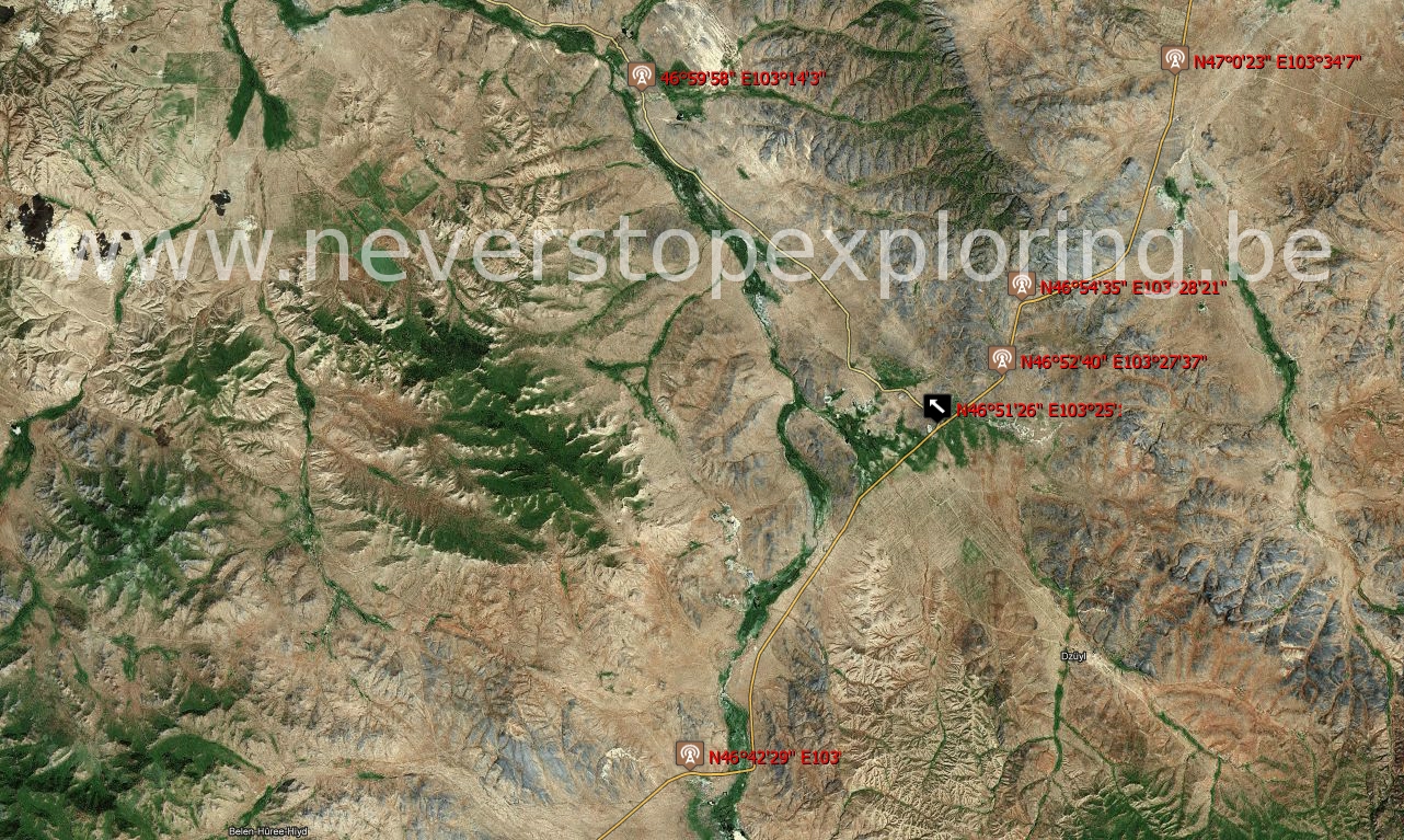
Click & view the roadbook pages
|
|
DOWNLOADABLE FILE: Roadbook Mongolia Trip FILE EXTENSION: .ZIP to uncompress and containing 89 maps under .JPG format FILE NAME: Mondolia4WDExpedition.zip DOWNLOADABLE FILE SIZE: 79 MB PROTECTION: Under Copyright Laurent D'Alvise 2011. CONTACT: |
All along the 2.700 km of expedition, the GPS device (Garmin 60CS) stayed on, recording the whole track. This is a table with a description of each day intermediate position with its coordinates and some general information.
| Day n° 1 | 
| N45°55.685' | E106°20.714' |
| A bit before Mandalgovi |
| Day n° 2 |
| N43°28.383' | E104°21.510' |
| A bit after Dalanzadgad. Oasis. Cumulated distance: 628 km |
| Day n° 3 |
| N43°41.676' | E102°38.165' |
| In the Gobi desert. Altitude: 1721 m |
| Day n° 4 |
| N43°57.337' | E102°42.992' |
| A bit before Bulgan. Cumulated distance: 930 km |
| Day n° 5 |
| N45°04.165' | E102°16.923' |
| A bit after Bogd. Cumulated distance: 1223 km |
| Day n° 6 |
| N47°14.320' | E102°45.486' |
| Close to Karakorum. Cumulated distance: 1552 km |
| Day n° 7 |
| N46°54'08" | E102°17'53" |
| Close to the Tokhov Temple. Altitude: 1648 m |
| Day n° 8 |
| N46°44'54" | E101°56'03" |
| Close to Bat-Oldziy. Not far from water falls. Altitude: 1865 m Cumulated distance: 1746 km |
| Day n° 9 |
| N47°14.320' | E102°45.486' |
| Back to Karakorum. Great Archeological site. |
| Days n° 10-12 |
| N48°12'17" | E99°50'48" |
| Along the Khorgo-Terkhin lake. Altitude: 2109 m Cumulated distance: 1746 km |
| Day n° 13 |
| N47°14.320' | E102°45.486' |
| Night at Karakorum. Cumulated distance: 2509 km |
| Day n° 14 |
| N47°24.439' | E103°40.285' |
| In the Dunes of Mongol Els. Altitude: 1289 m Cumulated distance: 2615 km |
| Day n° 15 |
| N47°51'29" | E106°47'13" |
| Back at Ulaanbaatar. |
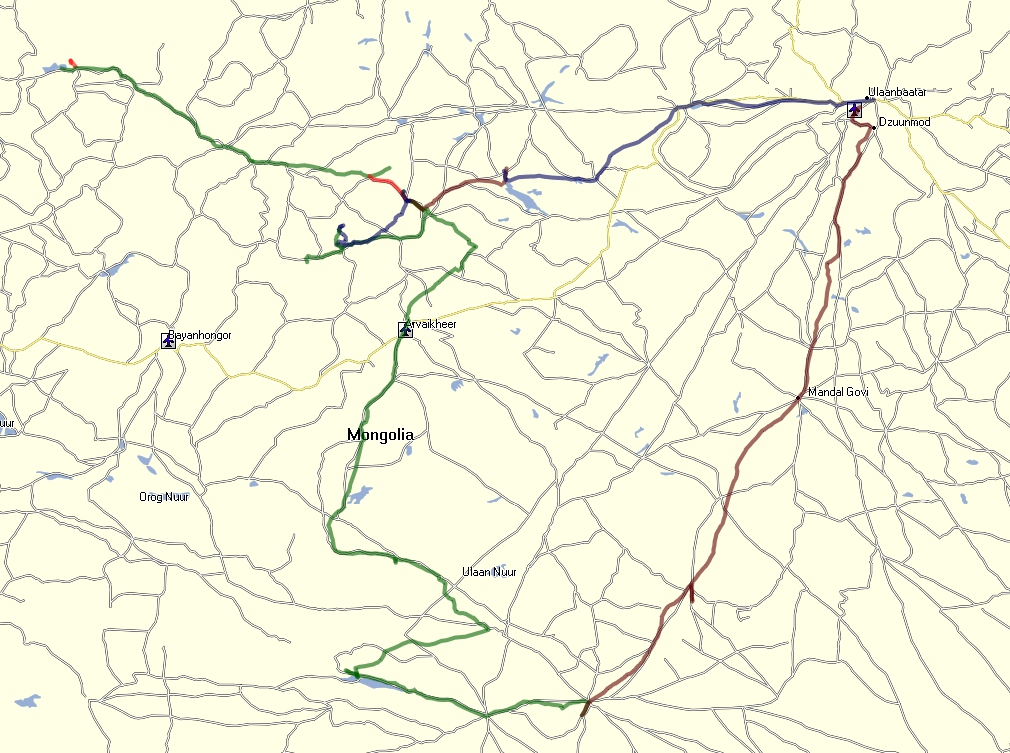
This is the Google Map showing each step of the trip:
View Mongolia 4WD Expedition in a larger map
As stated before, all along the 2.700 km of expedition, the GPS device (Garmin 60CS) stayed on, recording the whole track. You may use the .GPX file for launching a track-back operation of simply plot the track in your GPS device. The following zipped file contains 20 tracks forming the whole trip of 2.700 km:
|
|
DOWNLOADABLE FILE: GPS Tracks Mongolia Trip FILE TYPE: ZIP file to uncompress and containing a .GPX file FILE NAME: Mondolia4WDExpeditionGPS.zip DOWNLOADABLE FILE SIZE: 57 KB PROTECTION: Under Copyright Laurent D'Alvise 2011. CONTACT: |
You may load the .GPX file with the MAPSOUCE software from Garmin (free of charge) to plot and view the trip. By using the same software, you may uploade this file on your GPS device.